
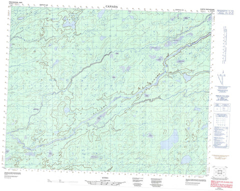
032N12 Canada topo map, 1:50,000 scale
032N12 NRCAN topographic map.
Includes UTM and GPS geographic coordinates (latitude and longitude). This 50k scale map is suitable for hiking, camping, and exploring, or you could frame it as a wall map.
Printed on-demand using high resolution, on heavy weight and acid free paper, or as an upgrade on a variety of synthetic materials.
Topos available on paper, Waterproof, Poly, or Tyvek. Usually shipping rolled, unless combined with other folded maps in one order.
- Product Number: NRCAN-032N12
- Parent Topo: TOPO-032N
- Map ID also known as: 032N12, 32N12
- Unfolded Size: Approximately 26" high by 36" wide
- Weight (paper map): ca. 55 grams
- Map Type: POD NRCAN Topographic Map
- Map Scale: 1:50,000
- Geographical region: Quebec, Canada
Neighboring Maps:
All neighboring Canadian topo maps are available for sale online at 1:50,000 scale.
Purchase the smaller scale map covering this area: Topo-032N
Spatial coverage:
Topo map sheet 032N12 covers the following places:
- Île Kauskwepikach - Étangs Kapatakanich Katakuch - Lac Chwan - Lac Emachisachistuwach - Lac Kachipikakanuch - Lac Kasakuwapechikamach - Lac Kawikakamisich - Lac Machisakahikan - Lac Machisakahikanish - Lac Nistam Esachistuwach - Lac Waphyew - Lac Wapikiyu Kaapit - Petit lac Kwikukwamu - Rapides Kapapachipiskach - Rivière Enistuwach - Rivière Kaupiyeumuchaushich - Rivière Pontax - Rivière Tetapishu - Ruisseau Epakatitich - Ruisseau Epuskauchipayich - Ruisseau Esakapuskach - Ruisseau Kamichestikweyach - Ruisseau Kapapatuwepayich - Ruisseau Kaputastikwanuch - Ruisseau Kayichistupayich - Ruisseau Mach - Ruisseau Machisakahikanischikush - Ruisseau Macisakahikanistikw - Ruisseau Niyeutachun Kauchipascheyach - Ruisseau Pastinikan - Ruisseau Usawakamiu - Portage Kananipaysichkweschewstakan - Portage Kapapachapiskach - Portage Kashakachiweyach - Portage Kasuwekaukasich - Portage Kauschiskako


