
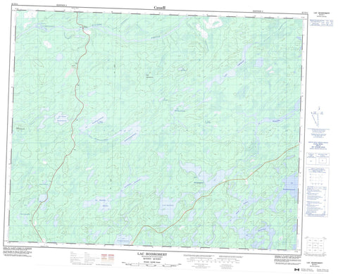
032N11 Lac Boisrobert Canada topo map, 1:50,000 scale
032N11 Lac Boisrobert NRCAN topographic map.
Includes UTM and GPS geographic coordinates (latitude and longitude). This 50k scale map is suitable for hiking, camping, and exploring, or you could frame it as a wall map.
Printed on-demand using high resolution, on heavy weight and acid free paper, or as an upgrade on a variety of synthetic materials.
Topos available on paper, Waterproof, Poly, or Tyvek. Usually shipping rolled, unless combined with other folded maps in one order.
- Product Number: NRCAN-032N11
- Parent Topo: TOPO-032N
- Map ID also known as: 032N11, 32N11
- Unfolded Size: Approximately 26" high by 36" wide
- Weight (paper map): ca. 55 grams
- Map Type: POD NRCAN Topographic Map
- Map Scale: 1:50,000
- Geographical region: Quebec, Canada
Neighboring Maps:
All neighboring Canadian topo maps are available for sale online at 1:50,000 scale.
Purchase the smaller scale map covering this area: Topo-032N
Spatial coverage:
Topo map sheet 032N11 Lac Boisrobert covers the following places:
- Lac Amikap - Lac Boisrobert - Lac Kachiskaywau - Lac Kachitikwachitanuch - Lac Kachiyaskunapiskwach - Lac Kaikwanikau - Lac Kamicheko - Lac Kamicheko Ministikw - Lac Kamichisuchistunuch - Lac Kashipewekamach - Lac Kaupapiskau - Lac Kaupiyeumuchausich - Lac Kawawakaskaw Esachistuwach - Lac Manitu - Lac Namepi Amikap - Lac Nistam Esachistuwach - Lac Tiwaskuhikan - Lacs Jolliet - Lacs Kanucheshuwanuch - Colline Kachischipekatinach - Colline Kamichipananuch - Rapides Alikashekakamichisut - Rivière Pontax - Rivière Tetapishu - Ruisseau Achistuskweyau - Ruisseau Kachinustikwach - Ruisseau Kachiskaywau - Ruisseau Kaputipiyach - Ruisseau Kaupiyeumuchaushich - Ruisseau Maskuminichi - Pont de la Pontax - Pont de la Rivière-Pontax - Portage Maskuminichi


