
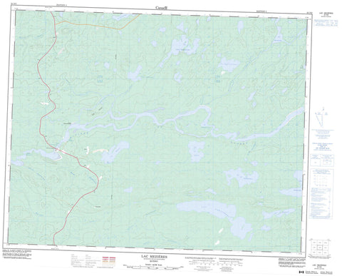
032N06 Lac Mezieres Canada topo map, 1:50,000 scale
032N06 Lac Mezieres NRCAN topographic map.
Includes UTM and GPS geographic coordinates (latitude and longitude). This 50k scale map is suitable for hiking, camping, and exploring, or you could frame it as a wall map.
Printed on-demand using high resolution, on heavy weight and acid free paper, or as an upgrade on a variety of synthetic materials.
Topos available on paper, Waterproof, Poly, or Tyvek. Usually shipping rolled, unless combined with other folded maps in one order.
- Product Number: NRCAN-032N06
- Parent Topo: TOPO-032N
- Map ID also known as: 032N06, 32N6, 32N06
- Unfolded Size: Approximately 26" high by 36" wide
- Weight (paper map): ca. 55 grams
- Map Type: POD NRCAN Topographic Map
- Map Scale: 1:50,000
- Geographical region: Quebec, Canada
Neighboring Maps:
All neighboring Canadian topo maps are available for sale online at 1:50,000 scale.
Purchase the smaller scale map covering this area: Topo-032N
Spatial coverage:
Topo map sheet 032N06 Lac Mezieres covers the following places:
- Baie Emitapeyach - Bras Sipastikw - Île Peat - Rocher Kapaschisikanuch - Lac à la Truite - Lac Atush - Lac de l'Échancrure - Lac du Détour - Lac Encaissé - Lac Kapikakamau - Lac Metutikwanish - Lac Mezières - Lac Mwakw - Lac Naquiperdu - Lac Nemiscau - Lac Nistam Esachistuwach - Lac Randal - Lac Tiwaskuhikan - Lac Uskui Kachimiteko - Mont Usikw Sakahikan - Rapides Kaumwakweyuch - Rapides Metutikwanu - Rapides Wapamiskush - Rivière de Rupert - Rivière Jolliet - Rivière Rupert - Ruisseau Itahunan - Ruisseau Kapisiyatiwakamiuch - Ruisseau Kapuskwapustech - Ruisseau Kaumwakweyuch - Ruisseau Kawaiskamichisi - Ruisseau Puysh - Ruisseau Tordu - Ruisseau Wapamiskushish - Ruisseau Waphyew - Ruisseau Waskahikanu - Pont de la Rivière-Rupert - Pont de la Rupert


