
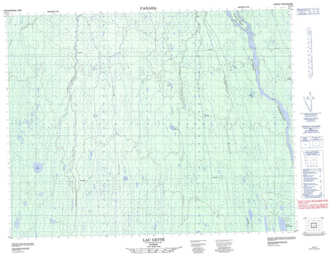
032L06 Lac Gette Canada topo map, 1:50,000 scale
032L06 Lac Gette NRCAN topographic map.
Includes UTM and GPS geographic coordinates (latitude and longitude). This 50k scale map is suitable for hiking, camping, and exploring, or you could frame it as a wall map.
Printed on-demand using high resolution, on heavy weight and acid free paper, or as an upgrade on a variety of synthetic materials.
Topos available on paper, Waterproof, Poly, or Tyvek. Usually shipping rolled, unless combined with other folded maps in one order.
- Product Number: NRCAN-032L06
- Parent Topo: TOPO-032L
- Map ID also known as: 032L06, 32L6, 32L06
- Unfolded Size: Approximately 26" high by 36" wide
- Weight (paper map): ca. 55 grams
- Map Type: POD NRCAN Topographic Map
- Map Scale: 1:50,000
- Geographical region: Quebec, Canada
Neighboring Maps:
All neighboring Canadian topo maps are available for sale online at 1:50,000 scale.
Purchase the smaller scale map covering this area: Topo-032L
Spatial coverage:
Topo map sheet 032L06 Lac Gette covers the following places:
- Île des Sept Milles - Lac Astisich Kaisikamach - Lac Breynat - Lac de la Clématite - Lac de la Goutte - Lac Despreux - Lac Getté - Lac Kasakukamach - Lac Paulding - Lac Riordon - Rapides Katackisegidjiwag - Rivière Birthday - Rivière Breynat - Rivière des Truites - Rivière Despreux - Rivière Harricana - Rivière Kamutataukach - Rivière Malouin - Rivière Mannerelle - Rivière Riordon - Ruisseau Kamichetustuweyach - Ruisseau Laforge


