
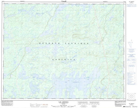
032J11 Lac Assinica Canada topo map, 1:50,000 scale
032J11 Lac Assinica NRCAN topographic map.
Includes UTM and GPS geographic coordinates (latitude and longitude). This 50k scale map is suitable for hiking, camping, and exploring, or you could frame it as a wall map.
Printed on-demand using high resolution, on heavy weight and acid free paper, or as an upgrade on a variety of synthetic materials.
Topos available on paper, Waterproof, Poly, or Tyvek. Usually shipping rolled, unless combined with other folded maps in one order.
- Product Number: NRCAN-032J11
- Parent Topo: TOPO-032J
- Map ID also known as: 032J11, 32J11
- Unfolded Size: Approximately 26" high by 36" wide
- Weight (paper map): ca. 55 grams
- Map Type: POD NRCAN Topographic Map
- Map Scale: 1:50,000
- Geographical region: Quebec, Canada
Neighboring Maps:
All neighboring Canadian topo maps are available for sale online at 1:50,000 scale.
Purchase the smaller scale map covering this area: Topo-032J
Spatial coverage:
Topo map sheet 032J11 Lac Assinica covers the following places:
- Lac Albert - Lac Assinica - Lac Boissy - Lac Charlie - Lac Clapier - Lac Comenscamoca - Lac Dalogny - Lac de la Bruine - Lac Drift - Lac Gariteau - Lac Gaulin - Lac Intestine - Lac La Chevalière - Lac La Chevardière - Lac La Fare - Lac Labeau - Lac Lafargue - Lac Lagnel - Lac Laloire - Lac Mair - Lac Maximos - Lac Mineray - Lac Nevin - Lac Olmstead - Lac Pasquale - Lac Perdu - Lac Perkins - Lac Pierre - Lac Puzzle - Lac Saint-Poncy - Lac Savournin - Lac Sirmac - Lac Sow - Lac Thiballier - Lac Trépezet - Lac Triart - Réserve faunique Assinica - Petite rivière Nottaway - Rivière Assinica - Rivière Broadback - Rivière Rapid - Rivière Victoria


