
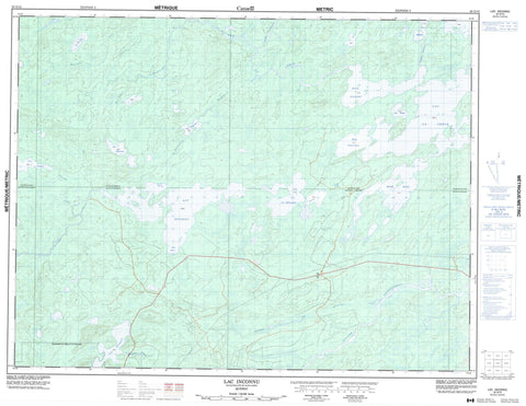
032G13 Lac Inconnu Canada topo map, 1:50,000 scale
032G13 Lac Inconnu NRCAN topographic map.
Includes UTM and GPS geographic coordinates (latitude and longitude). This 50k scale map is suitable for hiking, camping, and exploring, or you could frame it as a wall map.
Printed on-demand using high resolution, on heavy weight and acid free paper, or as an upgrade on a variety of synthetic materials.
Topos available on paper, Waterproof, Poly, or Tyvek. Usually shipping rolled, unless combined with other folded maps in one order.
- Product Number: NRCAN-032G13
- Parent Topo: TOPO-032G
- Map ID also known as: 032G13, 32G13
- Unfolded Size: Approximately 26" high by 36" wide
- Weight (paper map): ca. 55 grams
- Map Type: POD NRCAN Topographic Map
- Map Scale: 1:50,000
- Geographical region: Quebec, Canada
Neighboring Maps:
All neighboring Canadian topo maps are available for sale online at 1:50,000 scale.
Purchase the smaller scale map covering this area: Topo-032G
Spatial coverage:
Topo map sheet 032G13 Lac Inconnu covers the following places:
- Baie Dussault - Baie Geneviève - Baie Gilbert - Baie Gilles - Baie Pichamobi - Baie Rita - Branssat - Daine - Davost - Guettard - Krieghoff - La Ribourde - Montalembert - Saussure - Lac Branssat - Lac Colette - Lac Daine - Lac Gisèle - Lac Huguette - Lac Inconnu - Lac La Ribourde - Lac la Trêve - Lac Mildred - Lac Pijuwan - Lac Pijuwyan - Lac Renault - Lac Veto - Rivière Caupichigau - Rivière Chibougamau - Rivière Everglades - Rivière Inconnue - Rivière la Trêve - Rivière Mildred - Rivière Obalomago - Rivière Obatogamau - Ruisseau aux Alouettes - Ruisseau Branssat - Ruisseau Colette - Ruisseau Huguette - Ruisseau Renault - Ruisseau Veto - Waswanipi


