
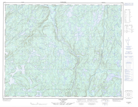
012L14 Lac Sanson Canada topo map, 1:50,000 scale
012L14 Lac Sanson NRCAN topographic map.
Includes UTM and GPS geographic coordinates (latitude and longitude). This 50k scale map is suitable for hiking, camping, and exploring, or you could frame it as a wall map.
Printed on-demand using high resolution, on heavy weight and acid free paper, or as an upgrade on a variety of synthetic materials.
Topos available on paper, Waterproof, Poly, or Tyvek. Usually shipping rolled, unless combined with other folded maps in one order.
- Product Number: NRCAN-012L14
- Parent Topo: TOPO-012L
- Map ID also known as: 012L14, 12L14
- Unfolded Size: Approximately 26" high by 36" wide
- Weight (paper map): ca. 55 grams
- Map Type: POD NRCAN Topographic Map
- Map Scale: 1:50,000
- Geographical region: Quebec, Canada
Neighboring Maps:
All neighboring Canadian topo maps are available for sale online at 1:50,000 scale.
Purchase the smaller scale map covering this area: Topo-012L
Spatial coverage:
Topo map sheet 012L14 Lac Sanson covers the following places:
- Lac Aiapeuatihk - Lac Akuakau - Lac Albert - Lac Bernard - Lac Buit - Lac Cimon - Lac Forget - Lac Katnukamahis - Lac Kleczkowski - Lac Lafrance - Lac Maurice - Lac Métivier - Lac Natel - Lac Nobel - Lac Perugia - Lac Relay - Lac Sanson - Lac Sauvage - Lac Titi - Lacs Memekuauhekau - Rivière Bernard - Rivière de l'Abbé-Huard - Rivière Maurice - Rivière Mingan - Rivière Romaine - Rivière Romaine Nord-Est - Rivière Romaine Sud-Est - Ruisseau Lebrun - Ruisseau Métivier


