
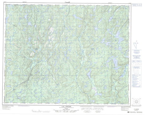
012L13 Lac Jerome Canada topo map, 1:50,000 scale
012L13 Lac Jerome NRCAN topographic map.
Includes UTM and GPS geographic coordinates (latitude and longitude). This 50k scale map is suitable for hiking, camping, and exploring, or you could frame it as a wall map.
Printed on-demand using high resolution, on heavy weight and acid free paper, or as an upgrade on a variety of synthetic materials.
Topos available on paper, Waterproof, Poly, or Tyvek. Usually shipping rolled, unless combined with other folded maps in one order.
- Product Number: NRCAN-012L13
- Parent Topo: TOPO-012L
- Map ID also known as: 012L13, 12L13
- Unfolded Size: Approximately 26" high by 36" wide
- Weight (paper map): ca. 55 grams
- Map Type: POD NRCAN Topographic Map
- Map Scale: 1:50,000
- Geographical region: Quebec, Canada
Neighboring Maps:
All neighboring Canadian topo maps are available for sale online at 1:50,000 scale.
Purchase the smaller scale map covering this area: Topo-012L
Spatial coverage:
Topo map sheet 012L13 Lac Jerome covers the following places:
- Passe Kauapapusteht - Falaise Kaiamehenant - Lac André - Lac Charles - Lac Coopman - Lac Dominique - Lac Jean-Pierre - Lac Jérôme - Lac Kanatshekakamat - Lac MacKay - Lac Mitshumukustshiau - Lacs Kaiamehenant - Lacs Memekuauhekau - Petit lac Shiakoshikakamau - Lac-Jérôme - Plaine Tshium Umahtshekum - Rapides Atshen Nukut - Rapides Kakahtshekauh - Rapides Utshimau Apeu Upauhtukum - Rivière Mashkamu - Rivière Matamek - Rivière Mingan - Rivière Mingan Nord-Ouest - Rivière Saint-Jean Nord-Est - Rivière Uashekamu - Ruisseau Antan - Ruisseau Kakuanat - Coude Kanatuapiaht - Portage Kahihtau Natiskaht - Portage Kaihuetauakaht - Portage Matamekuh - Uhukanatshehu


