
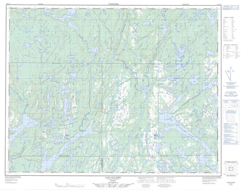
012L11 Lac Allard Canada topo map, 1:50,000 scale
012L11 Lac Allard NRCAN topographic map.
Includes UTM and GPS geographic coordinates (latitude and longitude). This 50k scale map is suitable for hiking, camping, and exploring, or you could frame it as a wall map.
Printed on-demand using high resolution, on heavy weight and acid free paper, or as an upgrade on a variety of synthetic materials.
Topos available on paper, Waterproof, Poly, or Tyvek. Usually shipping rolled, unless combined with other folded maps in one order.
- Product Number: NRCAN-012L11
- Parent Topo: TOPO-012L
- Map ID also known as: 012L11, 12L11
- Unfolded Size: Approximately 26" high by 36" wide
- Weight (paper map): ca. 55 grams
- Map Type: POD NRCAN Topographic Map
- Map Scale: 1:50,000
- Geographical region: Quebec, Canada
Neighboring Maps:
All neighboring Canadian topo maps are available for sale online at 1:50,000 scale.
Purchase the smaller scale map covering this area: Topo-012L
Spatial coverage:
Topo map sheet 012L11 Lac Allard covers the following places:
- Baie Calme - Baie Fermi - Baie Froide - Lac-Allard - Passe Kauapauakaht - Chutes Kauahtshuahk - Laurin - Parker - Puyjalon - Têtu - Île Kauahtshuaneu - Île Sainte-Hélène - Bassin des Murailles - Lac à Robert - Lac Aline - Lac Allard - Lac Ambroise - Lac Ano - Lac au Vent - Lac Bernevert - Lac Boucher - Lac Corinne - Lac David - Lac de la Dot - Lac de la Hache - Lac de la Panthère - Lac du Beigne - Lac du Camp - Lac du Deuxième Camp - Lac du Vent - Lac du Vingt et Un - Lac du Vingt-Deuxième Mille - Lac George - Lac Gilles - Lac Grader - Lac Grondin - Lac Haut - Lac Hélène - Lac Huhauhekau - Lac Jean - Lac Jennifer - Lac Kakuahkuepaniuhiht - Lac Kakuanahis - Lac Kapahapakahiu - Lac Katshihtshekakamat - Lac Kauapukuehiu - Lac Léo - Lac Lynch - Lac Mahkuatuk - Lac Manapakuaniskau - Lac Miskuatuku - Lac Mo - Lac Octave - Lac Perugia - Lac Petit Pas - Lac Puyjalon - Lac Roberts - Lac Rosie - Lac Saint-Pierre - Lac Sauvage - Lac Suzanne - Lac Têtu - Lac Tio - Lacs Mahtshekuakamau - Lacs Springer - Circonscription électorale de Duplessis - Les Murailles - Rivière Allard - Rivière Croche - Rivière de la Corneille - Rivière Octave - Rivière Perugia - Rivière Romaine - Rivière Romaine Sud-Est - Rivière Sauvage - Portage Kakahtatauakaikant - Portage Pakakuan - Portage Pakakuanu - Portage Ueut'n'tu


