
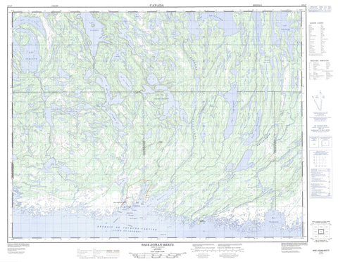
012L07 Baie Johan Beetz Canada topo map, 1:50,000 scale
012L07 Baie Johan Beetz NRCAN topographic map.
Includes UTM and GPS geographic coordinates (latitude and longitude). This 50k scale map is suitable for hiking, camping, and exploring, or you could frame it as a wall map.
Printed on-demand using high resolution, on heavy weight and acid free paper, or as an upgrade on a variety of synthetic materials.
Topos available on paper, Waterproof, Poly, or Tyvek. Usually shipping rolled, unless combined with other folded maps in one order.
- Product Number: NRCAN-012L07
- Parent Topo: TOPO-012L
- Map ID also known as: 012L07, 12L7, 12L07
- Unfolded Size: Approximately 26" high by 36" wide
- Weight (paper map): ca. 55 grams
- Map Type: POD NRCAN Topographic Map
- Map Scale: 1:50,000
- Geographical region: Quebec, Canada
Neighboring Maps:
All neighboring Canadian topo maps are available for sale online at 1:50,000 scale.
Purchase the smaller scale map covering this area: Topo-012L
Spatial coverage:
Topo map sheet 012L07 Baie Johan Beetz covers the following places:
- Baie Appatitatte - Baie de la Grande Hermine - Baie Johan-Beetz - Baie Piashti - Baie Pontbriand - Baie Quetachou - Baie Washatnagunashka - Gaine à Cochon - Gaine à Foin - Gaine à Philippe - Golfe du Saint-Laurent - Havre Watshishou - Pointe de la Gaine à Foin - Pointe de l'Est - Pointe Loizeau - Pointe Tanguay - Détroit de Jacques-Cartier - Des Herbiers - Drucourt - Johan-Beetz - Black Rock - Caye à Boucher - Éperon de la Pointe Loizeau - Île aux Lièvres - Île Boisée - Île Gull - Île Jaune - Île Longue - Île Puyjalon - Rocher Gull - Rocher Jaune - Rochers Galand - Lac à Pierre - Lac aux Goélands - Lac Bellanger - Lac Croche - Lac de la Cabane Neuve - Lac de la Cabane Plate - Lac Délias - Lac des Îles - Lac Devost - Lac du Milieu - Lac en Travers - Lac Ferland - Lac Hadeln - Lac Huard - Lac Ledoux - Lac Napoléon - Lac Papineau - Lac Piashti - Lac Prudent - Lac Salé - Lac Tanguay - Lac Théobule - Lac Turgeon - Lac Uhu - Lac Véronique - Lac Villeneuve - Lacs de la Cabane Brûlée - Petit lac Piashti - Petit lac Véronique - Belvédère de la Baie-Pontbriand - Belvédère de la Rivière-de-la-Corneille - Belvédère de la Rivière-Piashti - Saint-François-Régis - Colline Saddle - Colline Watshishou - Crête White - Mingan Archipelago National Park Reserve of Canada - Refuge d'oiseaux de Watshishou - Réserve de parc national du Canada de l'Archipel-de-Mingan - Watshishou Bird Sanctuary - Bras West - Petite rivière Piashti - Petite rivière Watshishou - Rivière de la Corneille - Rivière Grande Baie de Piashtibaie - Rivière Piashti - Rivière Pontbriand - Rivière Quetachou - Rivière Véronique - Rivière Watshishou - Rivière Watshishou Ouest - Ruisseau Kapminau - Portage Ahu Nipi - Portage Kahkamehtakan - Baie-Johan-Beetz - Spar Mica - Baie-Johan-Beetz - Johan-Beetz


