
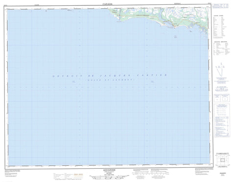
012L01 Aguanish Canada topo map, 1:50,000 scale
012L01 Aguanish NRCAN topographic map.
Includes UTM and GPS geographic coordinates (latitude and longitude). This 50k scale map is suitable for hiking, camping, and exploring, or you could frame it as a wall map.
Printed on-demand using high resolution, on heavy weight and acid free paper, or as an upgrade on a variety of synthetic materials.
Topos available on paper, Waterproof, Poly, or Tyvek. Usually shipping rolled, unless combined with other folded maps in one order.
- Product Number: NRCAN-012L01
- Parent Topo: TOPO-012L
- Map ID also known as: 012L01, 12L1, 12L01
- Unfolded Size: Approximately 26" high by 36" wide
- Weight (paper map): ca. 55 grams
- Map Type: POD NRCAN Topographic Map
- Map Scale: 1:50,000
- Geographical region: Quebec, Canada
Neighboring Maps:
All neighboring Canadian topo maps are available for sale online at 1:50,000 scale.
Purchase the smaller scale map covering this area: Topo-012L
Spatial coverage:
Topo map sheet 012L01 Aguanish covers the following places:
- Anse chez Bennett - Anse de Seine - Anse des Gallant - Baie Washtawouka - Golfe du Saint-Laurent - Le Banc - Le C du Banc - Île à Charles - Pointe à Chasse - Pointe de Seine - Pointe de Terre à Caye Noire - Pointe Nabisipi - Détroit de Jacques-Cartier - Costebelle - Goynish - La Richardière - Marie-Mère-de-l'Église - Caye à Camille - Caye à Edmond - Caye de la Rivière - Île à Célestin - Île à Ludger - Île Bear - Île chez Bennett - Île de la Pêche - Île de la Petite Rivière - Île des Storlets - Île Michon - Rochers Nabisipi - Morne de la Tour - Mingan Archipelago National Park Reserve of Canada - Refuge d'oiseaux de Watshishou - Réserve de parc national du Canada de l'Archipel-de-Mingan - Watshishou Bird Sanctuary - La Petite Rivière - Le Petit Ruisseau - Petit ruisseau de la Nabisipi - Rivière Aguanish - Rivière Aguanus - Rivière Dany - Rivière de l'Île Michon - Rivière Hendler - Rivière Nabisipi - Ruisseau à Collard - Ruisseau à Foin - Brisants Aguanish - Brisants Aguanus - Brisants Goynish - Hauts-fonds Pashashibou - Aguanish - Aguanus - L'Île-Michon - L'Île-Michon - Aguanish


