
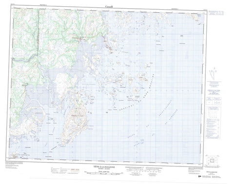
012J11 Tete A La Baleine Canada topo map, 1:50,000 scale
012J11 Tete A La Baleine NRCAN topographic map.
Includes UTM and GPS geographic coordinates (latitude and longitude). This 50k scale map is suitable for hiking, camping, and exploring, or you could frame it as a wall map.
Printed on-demand using high resolution, on heavy weight and acid free paper, or as an upgrade on a variety of synthetic materials.
Topos available on paper, Waterproof, Poly, or Tyvek. Usually shipping rolled, unless combined with other folded maps in one order.
- Product Number: NRCAN-012J11
- Parent Topo: TOPO-012J
- Map ID also known as: 012J11, 12J11
- Unfolded Size: Approximately 26" high by 36" wide
- Weight (paper map): ca. 55 grams
- Map Type: POD NRCAN Topographic Map
- Map Scale: 1:50,000
- Geographical region: Quebec, Canada
Neighboring Maps:
All neighboring Canadian topo maps are available for sale online at 1:50,000 scale.
Purchase the smaller scale map covering this area: Topo-012J
Spatial coverage:
Topo map sheet 012J11 Tete A La Baleine covers the following places:
- Anse du Petit Mécatina - Baie De Salaberry - Baie des Moutons - Baie des Rochers - Baie Plate - Bay of Rocks - Golfe du Saint-Laurent - Havre aux Lièvres - Havre de la Croix - Havre de la Tête à la Baleine - Havre Hare - Havre Louisa - Rade Lou - Cap du Gros Mécatina - Cap Mackinnon - Cap Mécatina - Pointe Antrobus - Pointe Cluster - Pointe Craig - Pointe Crescent - Pointe de la Botte - Pointe de l'Anse - Pointe Forsyth - Pointe Whale - Passe Aylmer - Passe Eastern - Passe Western - Archipel-du-Gros-Mécatina - Sainte-Anne - Archipel du Gros Mécatina - Île à la Chasse - Île à la Morue - Île Aid - Île Anderson - Île au Goéland - Île au Renard - Île au Sable - Île Beaulieu - Île Blais - Île Close - Île Crescent - Île Daly - Île de la Baie Plate - Île de la Corneille - Île de la Passe - Île de la Tête à la Baleine - Île du Chat - Île du Dimanche - Île du Grand Rigolet Est - Île du Grand Rigolet Ouest - Île du Jardin - Île du Petit Mécatina - Île Entrance - Île Galuchon - Île Halfway - Île Harrington - Île Herriot - Île Hospital - Île Kanty - Île Maria - Île Nadeau - Île Nob - Île Pierrot - Île Price - Île Providence - Île Staff - Île Steering - Île Stevenson - Île Vatcher - Île Verte - Îles aux Goélands - Îles Bald - Îles Dickson - Îles Doyle - Îles Eden - Îles Gore - Îles Harrington - Îles Paynter - Îles Sister - Rocher Aylmer - Rocher Cat - Rocher Elizabeth - Rocher Gore - Rocher Hodd - Rocher Rowsell - Rocher Scale - Rocher Single - Rocher Stevenson - Rocher Tail - Rochers Fin - Rochers Seal - Rochers Wickstead - Rivière de l'Est - Rivière de l'Ouest - Rivière du Petit Mécatina - Rivière du Porc-Épic - Ruisseau à Maurice - Ruisseau Sholiaban - Haut-fond Bobbitt - Haut-fond Fin - Haut-fond Forsyth - Haut-fond Monger - Haut-fond Thackeray - Hauts-fonds Ransom - Récif Spray - Récifs Doyle - Récifs Elizabeth - Aylmer Sound - Barachois - Harrington Harbour - Harrington Harbour - Tête-à-la-Baleine - Tête-à-la-Baleine


