
012F05 Cap De La Table Canada topo map, 1:50,000 scale
012F05 Cap De La Table NRCAN topographic map.
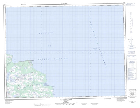
Includes UTM and GPS geographic coordinates (latitude and longitude). This 50k scale map is suitable for hiking, camping, and exploring, or you could frame it as a wall map.
Printed on-demand using high resolution, on heavy weight and acid free paper, or as an upgrade on a variety of synthetic materials.
Topos available on paper, Waterproof, Poly, or Tyvek. Usually shipping rolled, unless combined with other folded maps in one order.
- Product Number: NRCAN-012F05
- Parent Topo: TOPO-012F
- Map ID also known as: 012F05, 12F5, 12F05
- Unfolded Size: Approximately 26" high by 36" wide
- Weight (paper map): ca. 55 grams
- Map Type: POD NRCAN Topographic Map
- Map Scale: 1:50,000
- Geographical region: Quebec, Canada
Neighboring Maps:
All neighboring Canadian topo maps are available for sale online at 1:50,000 scale.
Purchase the smaller scale map covering this area: Topo-012F
Spatial coverage:
Topo map sheet 012F05 Cap De La Table covers the following places:
- Anse Lousy - Anse Mauvaise - Baie Deep - Baie du Renard - Baie Innommée - Baie Prinsta - Golfe du Saint-Laurent - Baie-du-Renard - Black Head - Cap de la Table - Cap Jacques - Cap James - Pointe des Terre-Neuviens - Pointe du Renard - Pointe Prinsta - Pointe Reef - Pointe Tunnel - Détroit de Jacques-Cartier - Falaise aux Éponges - Chute à Pascal - Chute des Guides - Chute des Terre-Neuviens - Chute Prinsta - Anticosti Island - Île d'Anticosti - Rocher Marie-Victorin - Étang Requin - Lac des Aulacéras - Lac des Trilobites - Lac Velléda - Lac Yvonne-Roland - Phare de Cap-de-la-Table - Phare du Cap-de-la-Table - Anse à Poux - Colline de la Table - Rivière du Renard - Rivière Prinsta - Ruisseau aux Algues - Ruisseau des Terre-Neuviens - Cap-de-la-Table - Les Squatters - Table Head - Tourbière à Milou


