
012E10 Pointe Carleton Canada topo map, 1:50,000 scale
012E10 Pointe Carleton NRCAN topographic map.
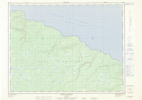
Includes UTM and GPS geographic coordinates (latitude and longitude). This 50k scale map is suitable for hiking, camping, and exploring, or you could frame it as a wall map.
Printed on-demand using high resolution, on heavy weight and acid free paper, or as an upgrade on a variety of synthetic materials.
Topos available on paper, Waterproof, Poly, or Tyvek. Usually shipping rolled, unless combined with other folded maps in one order.
- Product Number: NRCAN-012E10
- Parent Topo: TOPO-012E
- Map ID also known as: 012E10, 12E10
- Unfolded Size: Approximately 26" high by 36" wide
- Weight (paper map): ca. 55 grams
- Map Type: POD NRCAN Topographic Map
- Map Scale: 1:50,000
- Geographical region: Quebec, Canada
Neighboring Maps:
All neighboring Canadian topo maps are available for sale online at 1:50,000 scale.
Purchase the smaller scale map covering this area: Topo-012E
Spatial coverage:
Topo map sheet 012E10 Pointe Carleton covers the following places:
- Anse à la Vache - Anse des Acadiens - Anse des Cayens - Anse du Sentier Vert - Anse Tap - Baie à la Patate - Baie au Caplan - Baie Maujerol - Baie Mazerolle - Baie Morsal - Baie Observation - Golfe du Saint-Laurent - Camping Wilcox - Rivière-à-la-Patate - Vauréal - Cap Crotté - Cap Observation - Côte de la Découverte - Pointe à la Patate - Pointe à la Vache - Pointe Carleton - Pointe Christophe-Colomb - Pointe Guy - Caverne à la Patate - Grotte à la Patate - Grotte aux Cerises - Grotte de la Rivière Vauréal - Grotte des Vents - Grotte Kateri - Détroit de Jacques-Cartier - Chute de l'Observation - Chute de l'Observation Ouest - Chute Maujerol - Chute Mazerolle - Chute Mozerold - Chute Vauréal - Anticosti Island - Île d'Anticosti - Étang Albert - Étang André - Étang Corneille - Étang Cornu - Étang de la Chute - Étang du Chasseur - Étang du Faon - Étang Fortin - Étang Girard - Étang Jessie - Étang Paule - Étang Raymond - Étang Simard - Lac à l'Île - Lac Belnap - Lac Corneille - Lac Dam - Lac de la Loutre - Lac du Barrage - Lac Étroit - Lac Lapointe - Lac Malouin - Lac Otter - Lac Serge - Lac Simard - Lac Tony - Lac Vauréal - Lac Wilcox - Phare de Pointe-Carleton - Épave du Wilcox - Parc national d'Anticosti - Rivière à la Patate - Rivière Bear - Rivière de la Chaloupe - Rivière de la Roche - Rivière de l'Ours - Rivière des Petits Jardins - Rivière Dion - Rivière Dion - Rivière du Seigneur-Jolliet - Rivière Jupiter - Rivière Maujerol - Rivière Mazerolle - Rivière Mozerold - Rivière Mugaraul - Rivière Observation - Rivière Observation Est - Rivière Vauréal - Ruisseau à la Vache - Ruisseau Beacon - Ruisseau Cow - Ruisseau du Wilcox - Ruisseau Gaudry - Ponts à la Patate - Pointe-Carleton - Canyon à la Patate - Canyon de la Vauréal - Canyon de l'Observation - Tourbière de l'Observation


