
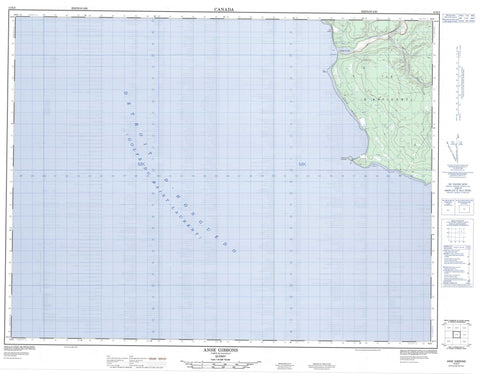
012E05 Anse Gibbons Canada topo map, 1:50,000 scale
012E05 Anse Gibbons NRCAN topographic map.
Includes UTM and GPS geographic coordinates (latitude and longitude). This 50k scale map is suitable for hiking, camping, and exploring, or you could frame it as a wall map.
Printed on-demand using high resolution, on heavy weight and acid free paper, or as an upgrade on a variety of synthetic materials.
Topos available on paper, Waterproof, Poly, or Tyvek. Usually shipping rolled, unless combined with other folded maps in one order.
- Product Number: NRCAN-012E05
- Parent Topo: TOPO-012E
- Map ID also known as: 012E05, 12E5, 12E05
- Unfolded Size: Approximately 26" high by 36" wide
- Weight (paper map): ca. 55 grams
- Map Type: POD NRCAN Topographic Map
- Map Scale: 1:50,000
- Geographical region: Quebec, Canada
Neighboring Maps:
All neighboring Canadian topo maps are available for sale online at 1:50,000 scale.
Purchase the smaller scale map covering this area: Topo-012E
Spatial coverage:
Topo map sheet 012E05 Anse Gibbons covers the following places:
- Anse des Pope - Anse Gibbons - Baie Bonsecours - Golfe du Saint-Laurent - Jupiter-la-Mer - Cap Jupiter - Cap Ottawa - Côte de la Grande Traversée - Pointe de Marbre - Pointe du Sud-Ouest - Pointe Sud-Ouest - Sandy Cliff - Détroit d'Honguedo - Passage Gaspé - Anticosti Island - Île d'Anticosti - Phare de Pointe-Sud-Ouest - Rivière Jupiter - Ruisseau du Phoque - Ruisseau McCormick - Ruisseau Trois Milles - Côte Verte - Pointe-Sud-Ouest


