
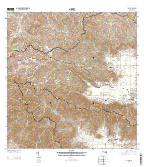
~ Yabucoa PR topo map, 1:20000 scale, 7.5 X 7.5 Minute, Historical, 2013
Yabucoa, Puerto Rico, USGS topographic map dated 2013.
Includes geographic coordinates (latitude and longitude). This topographic map is suitable for hiking, camping, and exploring, or framing it as a wall map.
Printed on-demand using high resolution imagery, on heavy weight and acid free paper, or alternatively on a variety of synthetic materials.
Topos available on paper, Waterproof, Poly, or Tyvek. Usually shipping rolled, unless combined with other folded maps in one order.
- Product Number: USGS-5964512
- Free digital map download (high-resolution, GeoPDF): Yabucoa, Puerto Rico (file size: 50 MB)
- Map Size: please refer to the dimensions of the GeoPDF map above
- Weight (paper map): ca. 55 grams
- Map Type: POD USGS Topographic Map
- Map Series: US Topo
- Map Verison: Historical
- Cell ID: 76939
- Datum: North American Datum of 1983
- Map Projection: Transverse Mercator
- Map Cell Name: Yabucoa
- Grid size: 7.5 X 7.5 Minute
- Date on map: 2013
- Map Scale: 1:20000
- Geographical region: Puerto Rico, United States
Neighboring Maps:
All neighboring USGS topo maps are available for sale online at a variety of scales.
Spatial coverage:
Topo map Yabucoa, Puerto Rico, covers the geographical area associated the following places:
- Palo Seco - Martorell Comunidad - Maunabo - Rosa Sánchez Comunidad - Palo Seco Comunidad - Columbia - Limones - Ramos Antonini - Vista Alegre - Los Angeles - San Pedro - Garona - Villa Recrero - Playita - Emajagua - Sector Varsovia - Colonia Bordelaise (historical) - Rosa Sanchez - Yabucoa - Yabucoa Zona Urbana - Martorell - Santa Elena - Cerro del Calvario - Maunabo Zona Urbana - Emajagua Comunidad - Residencial Carmen H Martorell - Jardines Los Almendros - Villa Navarro - Villa Hilda - Playita Comunidad - Laura - Minima Calimano - Residencial Doctoro Victor Berrios - Reparto Horizonte
- Map Area ID: AREA18.12518-66-65.875
- Northwest corner Lat/Long code: USGSNW18.125-66
- Northeast corner Lat/Long code: USGSNE18.125-65.875
- Southwest corner Lat/Long code: USGSSW18-66
- Southeast corner Lat/Long code: USGSSE18-65.875
- Northern map edge Latitude: 18.125
- Southern map edge Latitude: 18
- Western map edge Longitude: -66
- Eastern map edge Longitude: -65.875


