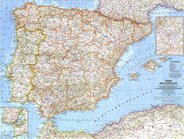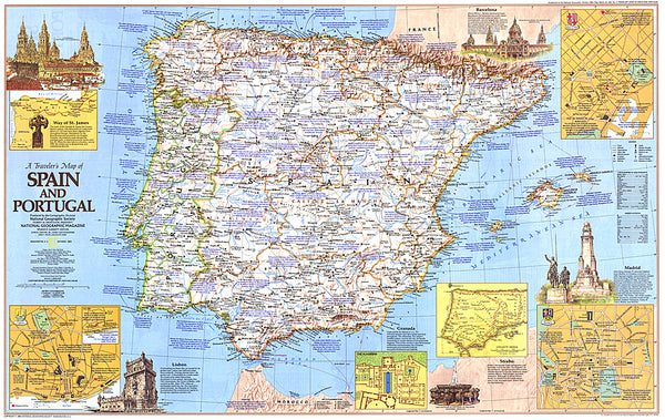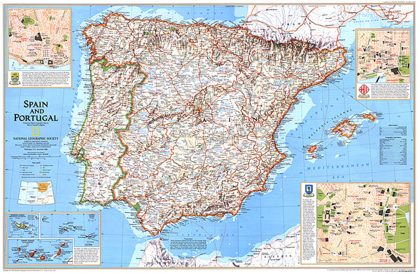
Portugal, road map 1:500,000
Portugal at 1:500,000 from Freytag & Berndt with its index Booklet attached to the map cover also providing street plans of central districts Lisbon and Porto. Road network gives driving distances on virtually all the small local roads shown on the map.
The map shows a large number of villages, with connecting small local roads. Road numbers of larges roads and clearly marked and scenic routes are highlighted. Railway lines are included and local airports are marked.
Topography is shown by relief shading, with spot heights and names of mountain ranges. National parks and other protected areas are highlighted. Symbols mark various placeas of interest, including campsites. The map has latitude and longitude lines at intervals of 30’. The index, in a separate booklet attached to the map cover lists locations with their postcodes. Multilingual map legend includes English.
- Product Number: FB_POR_19
- Reference Product Number: 2318713M
- ISBN: 9783707900118
- Date of Publication: 5/13/2019
- Folded Size: 10.02 inches high by 5.11 inches wide
- Unfolded (flat) Size: 10.02 inches high by 5.11 inches wide
- Map format: Folded
- Map type: Trade Maps - Road
- Geographical region: Portugal