
Mt. Hood Area: Hiking, Riding, and Climbing Map by Adventure Maps
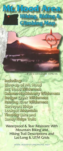
The Mt. Hood Area Hiking, Riding & Climbing map is a waterproof, topographic (lat/long,UTM grids) trail map that includes route descriptions covering trails in the Mt. Hood area including, Mt. Hood, Mt. Hood Wilderness, Salmon-Huckleberry Wilderness, Badger Creek Wilderness, Roaring River Wilderness, Surveyors Ridge, Lookout Mountain, Timothy Lake and Sandy Ridge Trails. It includes 16 mountain bike and 10 hiking descriptions. It also includes a blowup of Mt. Hood and the Sandy Ridge Trails. Fishermen, equestrians, hunters and OHV riders will also find this map very useful as it accurately shows all streams, lakes, roads, OHV routes and land ownership boundaries.
- Product Number: 2227327M
- Product Code: ADV_MT_HOOD
- ISBN: 9781933783338
- Year of Publication: 2012
- Folded Size: 9.84 x 3.94 inches
- Unfolded Size: 26.57 x 38.58 inches
- Map type: Folded Map
- Geographical region: Oregon


