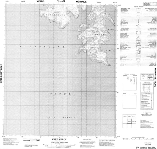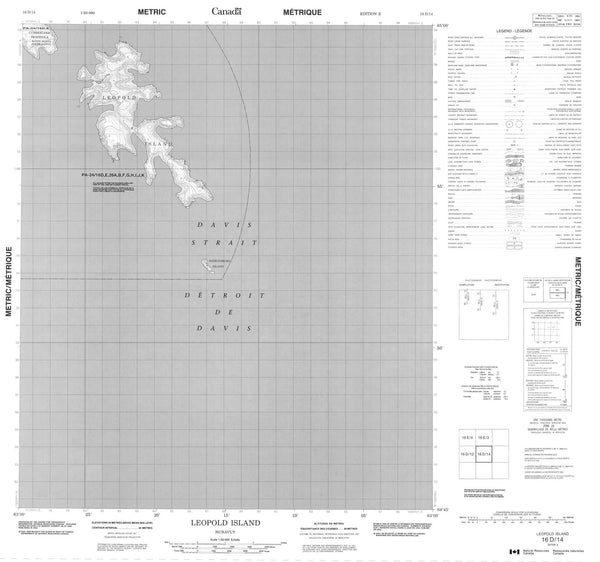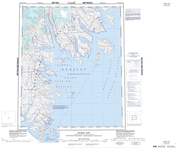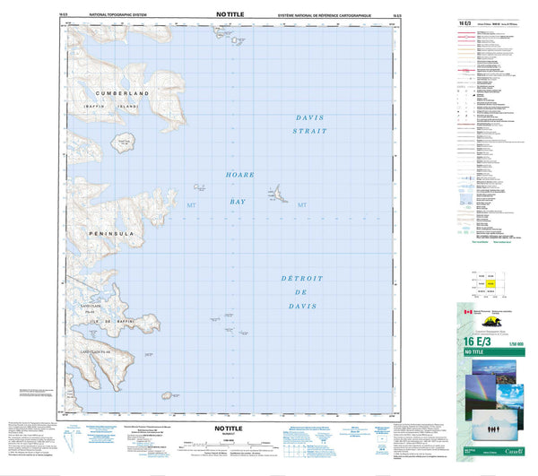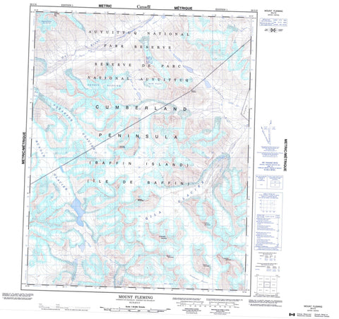
026I10 Mount Fleming Canada topo map, 1:50,000 scale
026I10 Mount Fleming NRCAN topographic map.
Includes UTM and GPS geographic coordinates (latitude and longitude). This 50k scale map is suitable for hiking, camping, and exploring, or you could frame it as a wall map.
Printed on-demand using high resolution, on heavy weight and acid free paper, or as an upgrade on a variety of synthetic materials.
Topos available on paper, Waterproof, Poly, or Tyvek. Usually shipping rolled, unless combined with other folded maps in one order.
- Product Number: NRCAN-026I10
- Parent Topo: TOPO-026I
- Map ID also known as: 026I10, 26I10
- Unfolded Size: Approximately 26" high by 36" wide
- Weight (paper map): ca. 55 grams
- Map Type: POD NRCAN Topographic Map
- Map Scale: 1:50,000
- Geographical region: Nunavut, Canada
Neighboring Maps:
All neighboring Canadian topo maps are available for sale online at 1:50,000 scale.
Purchase the smaller scale map covering this area: Topo-026I
Spatial coverage:
Topo map sheet 026I10 Mount Fleming covers the following places:
- Cumberland Peninsula - Ayunnamat Glacier - Highway Glacier - Igtuk Glacier - Masa Glacier - Nakarpoq Glacier - Penny Ice Cap - Petsut Glacier - Qila Glacier - Rundle Glacier - Ayunnamat Mountain - Midgard Mountain - Midnight Sun Peak - Mount Fleming - Naulik Mountain - Qilaut Mountain - Qimmiq Mountain - Tugnga Mountain - Valhalla Mountain - Auyuittuq National Park of Canada - Parc national du Canada Auyuittuq - June River - Naksakjua River - Owl River