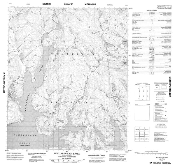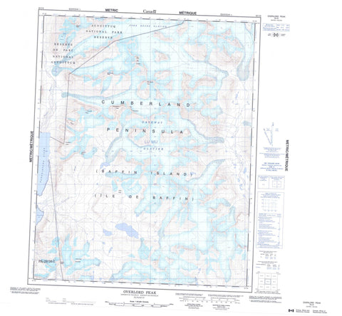
026I06 Overlord Peak Canada topo map, 1:50,000 scale
026I06 Overlord Peak NRCAN topographic map.
Includes UTM and GPS geographic coordinates (latitude and longitude). This 50k scale map is suitable for hiking, camping, and exploring, or you could frame it as a wall map.
Printed on-demand using high resolution, on heavy weight and acid free paper, or as an upgrade on a variety of synthetic materials.
Topos available on paper, Waterproof, Poly, or Tyvek. Usually shipping rolled, unless combined with other folded maps in one order.
- Product Number: NRCAN-026I06
- Parent Topo: TOPO-026I
- Map ID also known as: 026I06, 26I6, 26I06
- Unfolded Size: Approximately 26" high by 36" wide
- Weight (paper map): ca. 55 grams
- Map Type: POD NRCAN Topographic Map
- Map Scale: 1:50,000
- Geographical region: Nunavut, Canada
Neighboring Maps:
All neighboring Canadian topo maps are available for sale online at 1:50,000 scale.
Purchase the smaller scale map covering this area: Topo-026I
Spatial coverage:
Topo map sheet 026I06 Overlord Peak covers the following places:
- Aulatsivikjuak Bay - Pangnirtung Fiord - Aulatsivikjuak Point - Bears Paw Glacier - Fork Beard Glacier - Gateway Glacier - Niflheim Glacier - Gauntlet Peak - Overlord Peak - Qajaq Peak - Qilalugaq Mountain - Sandcastle Peak - Spartan Peak - Takuniakvik Peak - Tete des Cirques - The Guardians - Tikeq Peak - Tirokwa Peak - Turnweather Peak - Ulu Peak - Auyuittuq National Park of Canada - Parc national du Canada Auyuittuq - Puurusiq River - Weasel River - Puurusiq Valley