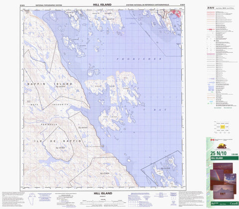
025N10 Hill Island Canada topo map, 1:50,000 scale
025N10 Hill Island NRCAN topographic map.
Includes UTM and GPS geographic coordinates (latitude and longitude). This 50k scale map is suitable for hiking, camping, and exploring, or you could frame it as a wall map.
Printed on-demand using high resolution, on heavy weight and acid free paper, or as an upgrade on a variety of synthetic materials.
Topos available on paper, Waterproof, Poly, or Tyvek. Usually shipping rolled, unless combined with other folded maps in one order.
- Product Number: NRCAN-025N10
- Parent Topo: TOPO-025N
- Map ID also known as: 025N10, 25N10
- Unfolded Size: Approximately 26" high by 36" wide
- Weight (paper map): ca. 55 grams
- Map Type: POD NRCAN Topographic Map
- Map Scale: 1:50,000
- Geographical region: Nunavut, Canada
Neighboring Maps:
All neighboring Canadian topo maps are available for sale online at 1:50,000 scale.
Purchase the smaller scale map covering this area: Topo-025N
Spatial coverage:
Topo map sheet 025N10 Hill Island covers the following places:
- Bay of Two Rivers - Foul Inlet - Frobisher Bay - Koojesse Inlet - Peterhead Inlet - Best Point - Davidson Point - Peale Point - Iqaluit - Aubrey Island - Beveridge Island - Bishop Island - Carter Islands - Emerick Island - Faris Island - Hill Island - Long Island - Monument Island - Ptarmigan Island - Qarsau Island - Innuit Head - Mount Sharat - Silliman's Fossil Mount - Armshow River - Sylvia Grinnell River - Sylvia River - Black Ledge - Polaris Reef - White Top Ledge - Frobisher Bay - Frobisher - Ikaluit