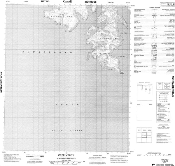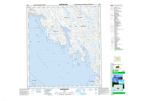
025N09 Burton Bay Canada topo map, 1:50,000 scale
025N09 Burton Bay NRCAN topographic map.
Includes UTM and GPS geographic coordinates (latitude and longitude). This 50k scale map is suitable for hiking, camping, and exploring, or you could frame it as a wall map.
Printed on-demand using high resolution, on heavy weight and acid free paper, or as an upgrade on a variety of synthetic materials.
Topos available on paper, Waterproof, Poly, or Tyvek. Usually shipping rolled, unless combined with other folded maps in one order.
- Product Number: NRCAN-025N09
- Parent Topo: TOPO-025N
- Map ID also known as: 025N09, 25N9, 25N09
- Unfolded Size: Approximately 26" high by 36" wide
- Weight (paper map): ca. 55 grams
- Map Type: POD NRCAN Topographic Map
- Map Scale: 1:50,000
- Geographical region: Nunavut, Canada
Neighboring Maps:
All neighboring Canadian topo maps are available for sale online at 1:50,000 scale.
Purchase the smaller scale map covering this area: Topo-025N
Spatial coverage:
Topo map sheet 025N09 Burton Bay covers the following places:
- Burton Bay - Frobisher Bay - Koojesse Inlet - Lewis Bay - Porter Inlet - Tarr Inlet - Wayne Bay - Becher Peninsula - Koodloo Point - Laird Peninsula - Lamb Point - Miner Point - Pichit Peninsula - Mandarin Passage - Iqaluit - Cairn Island - Coffin Island - Crimmins Island - Frobisher's Farthest - Jenvey Island - Kudlago Island - Long Island - Mair Island - McLaren Island - Monument Island - Pichit Island - Sale Island - Sybil Island - Wigle Islands - Apex Hill - Niaqunguk River - Deception Reef - Johnston Reef - Laprade Reef - O'Connell Reef - Palmer Reef - Quinn Reef - Shagstone Reef - Apex - Frobisher Bay