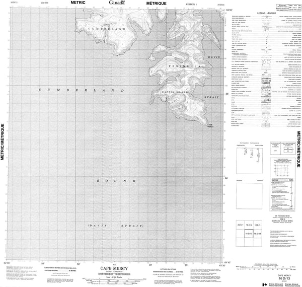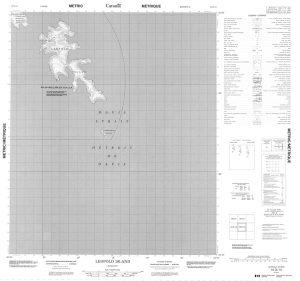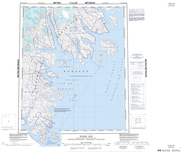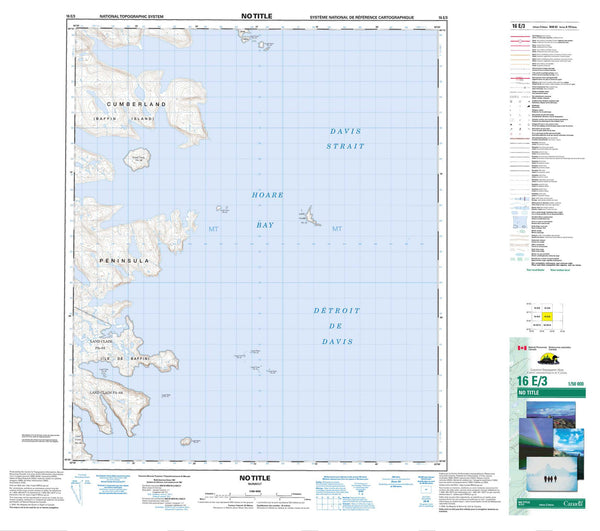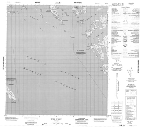
025K12 Cape Wight Canada topo map, 1:50,000 scale
025K12 Cape Wight NRCAN topographic map.
Includes UTM and GPS geographic coordinates (latitude and longitude). This 50k scale map is suitable for hiking, camping, and exploring, or you could frame it as a wall map.
Printed on-demand using high resolution, on heavy weight and acid free paper, or as an upgrade on a variety of synthetic materials.
Topos available on paper, Waterproof, Poly, or Tyvek. Usually shipping rolled, unless combined with other folded maps in one order.
- Product Number: NRCAN-025K12
- Parent Topo: TOPO-025K
- Map ID also known as: 025K12, 25K12
- Unfolded Size: Approximately 26" high by 36" wide
- Weight (paper map): ca. 55 grams
- Map Type: POD NRCAN Topographic Map
- Map Scale: 1:50,000
- Geographical region: Nunavut, Canada
Neighboring Maps:
All neighboring Canadian topo maps are available for sale online at 1:50,000 scale.
Purchase the smaller scale map covering this area: Topo-025K
Spatial coverage:
Topo map sheet 025K12 Cape Wight covers the following places:
- Glasgow Bay - Itivirk Bay - McKellar Bay - North Bay - Cape Tanfield - Cape Wight - Meta Incognita Peninsula - Napparti Point - Nuvualujjuaq Peninsula - Hudson Strait - Aulassivik Island - Beacon Island - Black Bluff Island - Forder Island - High Bluff Island - Ivisaat Island - Juet Island - Lavoie Island - Lee Island - Nuvursiit Islands - Nuvursirpaaraaluk Island - Poodlatee Island - Pudlatin Islands - Sheer Islands - Upper Savage Islands - Wishart Island - Larch Reef - Stanley Reef - Western Reefs