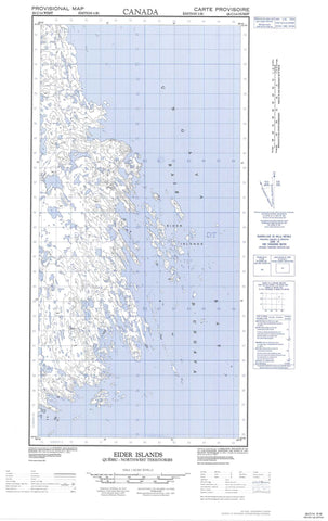
025C14W Eider Islands Canada topo map, 1:50,000 scale
025C14W Eider Islands NRCAN topographic map.
Includes UTM and GPS geographic coordinates (latitude and longitude). This 50k scale map is suitable for hiking, camping, and exploring, or you could frame it as a wall map.
Printed on-demand using high resolution, on heavy weight and acid free paper, or as an upgrade on a variety of synthetic materials.
Topos available on paper, Waterproof, Poly, or Tyvek. Usually shipping rolled, unless combined with other folded maps in one order.
- Halfsheet: This map was designed as a half sheet of NRCAN-025C14, and it is the Western half. Find the eastern half sheet here.
- Product Number: NRCAN-025C14W
- Parent Topo: TOPO-025C
- Map ID also known as: 025C14, 25C14
- Unfolded Size: Approximately 26" high by 36" wide
- Weight (paper map): ca. 55 grams
- Map Type: POD NRCAN Topographic Map
- Map Scale: 1:50,000
- Geographical region: Nunavut, Canada
Neighboring Maps:
All neighboring Canadian topo maps are available for sale online at 1:50,000 scale.
Purchase the smaller scale map covering this area: Topo-025C
Spatial coverage:
Topo map sheet 025C14W Eider Islands covers the following places:
- Baie Inussuulaat - Mouillage Kisarvik - Camp Imilik - Camp Imilimmiut - Camps Aupaluttumiut - Camps Inussuulaarmiut - Pointe Aupaluttuq - Pointe Imiliup Akillinga - Pointe Inussulik - Pointe Inussuulaat - Pointe Tuapait - Eider Islands - Lac Aupaluttuuq - Lac Ilummuuliup - Lac Inussuulaap - Lac Tininnirujaq - Lacs Atanirtuuq - Lacs Aupaluttuup - Butte Qinnuajuartalik - Colline Nasivvik - Colline Qarqaaluk - Rivière Qinnuajuartalik - Vallon Tininnirujaq