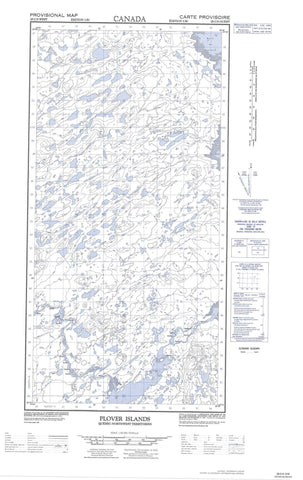
025C05W Plover Islands Canada topo map, 1:50,000 scale
025C05W Plover Islands NRCAN topographic map.
Includes UTM and GPS geographic coordinates (latitude and longitude). This 50k scale map is suitable for hiking, camping, and exploring, or you could frame it as a wall map.
Printed on-demand using high resolution, on heavy weight and acid free paper, or as an upgrade on a variety of synthetic materials.
Topos available on paper, Waterproof, Poly, or Tyvek. Usually shipping rolled, unless combined with other folded maps in one order.
- Halfsheet: This map was designed as a half sheet of NRCAN-025C05, and it is the Western half. Find the eastern half sheet here.
- Product Number: NRCAN-025C05W
- Parent Topo: TOPO-025C
- Map ID also known as: 025C05, 25C5, 25C05
- Unfolded Size: Approximately 26" high by 36" wide
- Weight (paper map): ca. 55 grams
- Map Type: POD NRCAN Topographic Map
- Map Scale: 1:50,000
- Geographical region: Nunavut, Canada
Neighboring Maps:
All neighboring Canadian topo maps are available for sale online at 1:50,000 scale.
Purchase the smaller scale map covering this area: Topo-025C
Spatial coverage:
Topo map sheet 025C05W Plover Islands covers the following places:
- Baie De Rozière - Baie d'Ungava - Baie Pamialluup - Baie Qarsutuurusiq - Baie Qikirtaujaup - Baie Sèche - Dry Bay - Mouillage Qikirtaujaup - Camp Illuvigartulik Siqinirsiq - Camp Illuvigartulik Tarrasiq - Camp Nunaturliq - Camp Qarqakallalik - Pointe Atanirtuup - Pointe Illuvigartulik Siqinirsiq - Pointe Illuvigartulik Tarrasiq - Pointe Nasairtaalavvik - Pointe Qarsutuuq - Pointe Qarsutuurusiq - Pointe Utarqiuvik - Pointes Qikirtaujaq - Chute Qikirtaujaup - Île Pikiuliapik - Île Qarsutuurusiq - Île Qillamiluk - Îles Plover - Plover Islands - Lac Aanalik - Lac Ammaluaraaluk - Lac Atanirtut - Lac Igussaaraq - Lac Igussaaraq - Lac Igussaaraup - Lac Ikkaruaq - Lac Ikkaruq - Lac Iqalulik - Lac Nirlisiurvik - Lacs Illuvigartuliup - Butte Igussaaraq - Colline Igussaaraq - Colline Illuvigartulik - Colline Qarqaalualuk - Colline Qarqaaluk - Colline Takiluqiup Tarrasiq - Colline Talurjuaq - Colline Tukiluqiup - Dune Ippialuk - Sommets Iviangirnaaq - Qikirtaujaup Kuunga - Rivière Aspinall - Rivière Gadois - Rivière Qarsutuurusiq - Tukiluqi