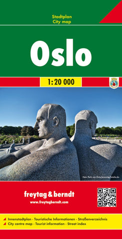
Oslo, City map 1:20,000
Indexed street plan of Stockholm and the adjoining districts. Coverage extends from Nittedal in the north-east to Sandvika in the west and Oppegård in the south.
The plan shows ferries, bus/tram routes, railways and underground lines (T-banelinje) and stations. Other details include road tolls, one-way streets, pedestrian zones, tourist information offices, notable buildings, car parks, campsites, ski-slopes and ski-lifts etc. An enlargement covers the city centre in greater detail at 1:10,000. Also includes a road map of the citys surroundings at 1:800,000.
Map legend includes English. Index on reverse.
- Product Number: FB_OSLO_16
- Reference Product Number: - None -
- ISBN: 9783707903522
- Date of Publication: 10/5/2016
- Folded Size: 10.02 inches high by 5.11 inches wide
- Unfolded (flat) Size: 10.02 inches high by 5.11 inches wide
- Map format: Folded
- Map type: Trade Maps - City Maps
- Geographical region: Norway