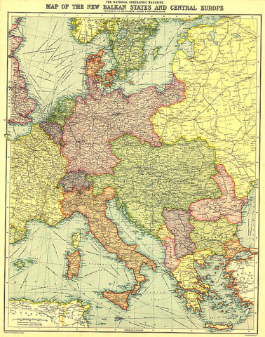
1914 New Balkan States and Central Europe Map
This historic map of the Balkan States and Central Europe features vibrant color and steamship routes. Published in August 1914, it captured Central Europe as it stood at the start of the First World War.
- Product Number: PODHNG_BALK_C_EUR_14
- Reference Product Number: 2321250M
- ISBN: - None -
- Date of Publication: 6/1/1914
- Unfolded (flat) Size: 22.75 inches high by 18 inches wide
- Map format: Wall
- Map type: Trade Maps - Political


