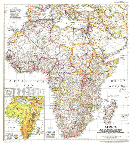
1950 Africa and the Arabian Peninsula Map
This intriguing historical snapshot of Africa and the Arabian Peninsula captures Libya and Somalias independence from colonial administration as well as early oil development in Saudi Arabia, Iraq, and Iran. First published in March 1950, this map accompanied three National Geographic articles including one entitled, Roaming Africas Unfenced Zoos.
- Product Number: PODHNG_AFR_ARAB_50
- Reference Product Number: 2321403M
- ISBN: - None -
- Date of Publication: 6/1/1950
- Unfolded (flat) Size: 31 inches high by 28.25 inches wide
- Map format: Wall
- Map type: Trade Maps - Political


