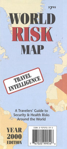
World Risk Map
Risk rankings are easily decoded using our simplified color indicator, with tan representing countries with lower overall risk and red representing countries with higher levels of overall risk.
The map includes, immunization and health, travel and security restriction information and foreign embassies in the U.S.
- Product Number: ML_WOR_RISK_0
- Reference Product Number: 2034953M
- ISBN: 9780929591599
- Date of Publication: 6/1/2000
- Folded Size: 9.06 inches high by 4.33 inches wide
- Unfolded (flat) Size: 24.02 inches high by 18.11 inches wide
- Map format: Folded
- Map type: Trade Maps - Specialty

