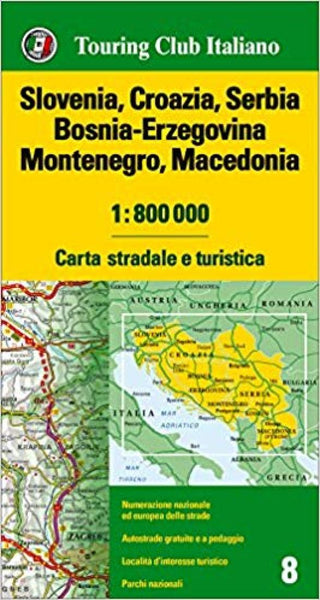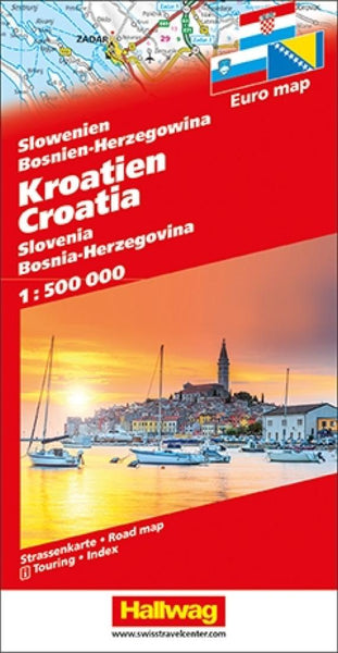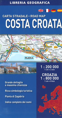
Costa Croata : carta stradale : road map
Folded paper map in laminated cardboard cover with attached index booklet. Printed on one side. Legend in 5 languages. Map covers northern border areas south to Bosnian Jado to Ravni west to Pola. Includes insets of region, Zagreb, and downtown Zagreb.
- Product Number: LIB_CRO_CO_17
- Reference Product Number: 2254066M
- ISBN: 9788869851445
- Date of Publication: 6/1/2017
- Folded Size: 9.84 inches high by 5.12 inches wide
- Unfolded (flat) Size: 46.85 inches high by 37.8 inches wide
- Map format: Folded
- Map type: Trade Maps - Road
- Geographical region: Bosnia and Herzegovina,Croatia,Italy,Slovenia

