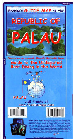
Frankos guide map of the Republic of Palau
Includes color illustrations and descriptive notes about recreational activities and diving spots in the Palau archipelago and surrounding reefs. Large-scale ancillary maps of Koror, Peleliu, Badeldaob, and Angaur on reverse with color illustrations and descriptive text.
- Product Number: FM_PALAU_8
- Reference Product Number: 2034445M
- ISBN: 9781601901996
- Date of Publication: 6/1/2008
- Folded Size: 9.06 inches high by 4.72 inches wide
- Unfolded (flat) Size: 18.5 inches high by 25.98 inches wide
- Map format: Folded
- Map type: Trade Maps - Travel
- Geographical region: Palau
