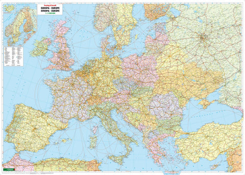
Europe political, wall map 1:3.500,000, flat
Political map of Europe at a scale of 1:3,500,000. Labeling in German. freytag & berndt wall maps are rolled up and packed in a stable plastic tube. This map incudes detail of: road numbers and ferries routes.
- Product Number: FB_EUR_POL_WA_17
- Reference Product Number: - None -
- ISBN: 9783850844444
- Date of Publication: 10/4/2017
- Folded Size: 36.16 inches high by 49.13 inches wide
- Unfolded (flat) Size: 36.16 inches high by 49.13 inches wide
- Map format: Wall
- Map type: Trade Maps - Political

