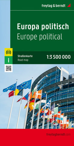
Europe political, street map 1:3,500,000
Detailed political road map of Europe, ideal for route-planning.
Main roads such as motorways, dual-carriageways and highways are shown, as are some minor roads. National boundaries are clearly marked, with railways, airports, ferry routes all clearly marked. Intermediate driving distances between locations are shown in kilometres alongside the road, as are road numbers.
A grid divides the map at 2.5° increments, and is also grid-referenced for the accompanying index booklet.
*Multilingual map legend includes English.*
- Product Number: FB_EUR_22
- Reference Product Number: - None -
- ISBN: 9783850842228
- Date of Publication: 4/7/2022
- Folded Size: 10.02 inches high by 5.11 inches wide
- Unfolded (flat) Size: 10.02 inches high by 5.11 inches wide
- Map format: Folded
- Map type: Trade Maps - Road

