
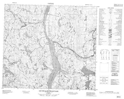
024A07 Lac De La Hutte Sauvage Canada topo map, 1:50,000 scale
024A07 Lac De La Hutte Sauvage NRCAN topographic map.
Includes UTM and GPS geographic coordinates (latitude and longitude). This 50k scale map is suitable for hiking, camping, and exploring, or you could frame it as a wall map.
Printed on-demand using high resolution, on heavy weight and acid free paper, or as an upgrade on a variety of synthetic materials.
Topos available on paper, Waterproof, Poly, or Tyvek. Usually shipping rolled, unless combined with other folded maps in one order.
- Product Number: NRCAN-024A07
- Parent Topo: TOPO-024A
- Map ID also known as: 024A07, 24A7, 24A07
- Unfolded Size: Approximately 26" high by 36" wide
- Weight (paper map): ca. 55 grams
- Map Type: POD NRCAN Topographic Map
- Map Scale: 1:50,000
- Geographical region: Newfoundland and Labrador, Canada
Neighboring Maps:
All neighboring Canadian topo maps are available for sale online at 1:50,000 scale.
Purchase the smaller scale map covering this area: Topo-024A
Spatial coverage:
Topo map sheet 024A07 Lac De La Hutte Sauvage covers the following places:
- Baie Kauashast - Natikamaukau - Petite pointe Natikamaukast - Pointe Wedge - Kamishikamats - Lac Coiffier - Lac de la Hutte Sauvage - Lac Dihourse - Lac Indian House - Mistinatuakamau - Mushuau Nipi - Traverse Kanuauakant Atik - Rapides Kautanikuskants - Mushuau Shipu - Pupun Nikau Shipu - Rivière George - Rivière Kangertialuksoak - Ruisseau Kapeikuashkput - Ruisseau Manistuueu - Ruisseau Natikamaukau - Manistuueu - Mistiutshimau - Natikamaukau - Uishakutshuakamau


