
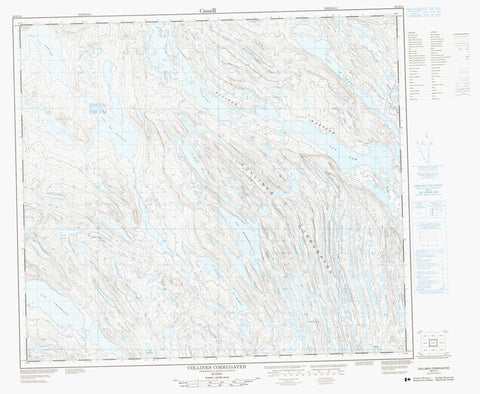
023O14 Collines Corrugated Canada topo map, 1:50,000 scale
023O14 Collines Corrugated NRCAN topographic map.
Includes UTM and GPS geographic coordinates (latitude and longitude). This 50k scale map is suitable for hiking, camping, and exploring, or you could frame it as a wall map.
Printed on-demand using high resolution, on heavy weight and acid free paper, or as an upgrade on a variety of synthetic materials.
Topos available on paper, Waterproof, Poly, or Tyvek. Usually shipping rolled, unless combined with other folded maps in one order.
- Product Number: NRCAN-023O14
- Parent Topo: TOPO-023O
- Map ID also known as: 023O14, 23O14
- Unfolded Size: Approximately 26" high by 36" wide
- Weight (paper map): ca. 55 grams
- Map Type: POD NRCAN Topographic Map
- Map Scale: 1:50,000
- Geographical region: Newfoundland and Labrador, Canada
Neighboring Maps:
All neighboring Canadian topo maps are available for sale online at 1:50,000 scale.
Purchase the smaller scale map covering this area: Topo-023O
Spatial coverage:
Topo map sheet 023O14 Collines Corrugated covers the following places:
- Lac Cramolet - Lac Curaillon - Lac d'Argent - Lac du Bassin - Lac Effiat - Lac Final - Lac Fribot - Lac Hôtel - Lac Kawasayakamich - Lac Laflèche - Lac Levilliers - Lac Livilliers - Lac Lorelei - Lac Low - Lac Mesnu - Lac Morambert - Lac Rocheron - Lac Sénallon - Lac Silver Ribbon - Lac Tassy - Collines Corrugated - Rivière Wheeler


