
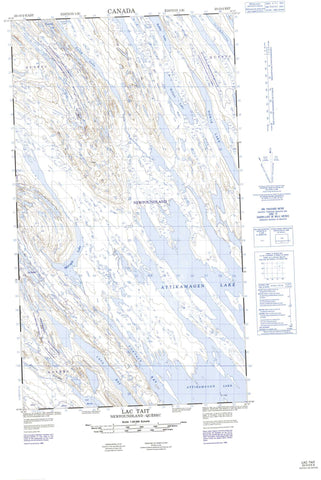
023O02E Lac Tait Canada topo map, 1:50,000 scale
023O02E Lac Tait NRCAN topographic map.
Includes UTM and GPS geographic coordinates (latitude and longitude). This 50k scale map is suitable for hiking, camping, and exploring, or you could frame it as a wall map.
Printed on-demand using high resolution, on heavy weight and acid free paper, or as an upgrade on a variety of synthetic materials.
Topos available on paper, Waterproof, Poly, or Tyvek. Usually shipping rolled, unless combined with other folded maps in one order.
- Halfsheet: This map was designed as a half sheet of NRCAN-023O02, and it is the Eastern half. Find the western half sheet here.
- Product Number: NRCAN-023O02E
- Parent Topo: TOPO-023O
- Map ID also known as: 023O02, 23O2, 23O02
- Unfolded Size: Approximately 26" high by 36" wide
- Weight (paper map): ca. 55 grams
- Map Type: POD NRCAN Topographic Map
- Map Scale: 1:50,000
- Geographical region: Newfoundland and Labrador, Canada
Neighboring Maps:
All neighboring Canadian topo maps are available for sale online at 1:50,000 scale.
Purchase the smaller scale map covering this area: Topo-023O
Spatial coverage:
Topo map sheet 023O02E Lac Tait covers the following places:
- Contact Bay - Lava Bay - Attikamagen Lake - Billjoy Lake - Cormier Lake - Diorite Lake - Gulch Lake - Lac Bourdet - Lac de la Diorite - Lac Deschabert - Lac Dry - Lac Grouvel - Lac Guillet - Lac Hayot - Lac Island - Lac Johnston - Lac Myrtle - Lac Nancy - Lac Natagabow - Lac Natogabow - Lac Pauperet - Lac Pivin - Lac Ploughed - Lac Pluton - Lac Ponsard - Lac Rousselière - Lac Tait - Lac Trough - Lac Twisted - Lac Vulcain - Lac Weasel - Lac Wye - Marygib Lake - Rabbit Lake - Rivière De Vezain - Rivière Ferrum - Kawawachikamach - Schefferville


