
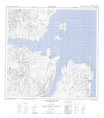
014M05 Seven Islands Bay Canada topo map, 1:50,000 scale
014M05 Seven Islands Bay NRCAN topographic map.
Includes UTM and GPS geographic coordinates (latitude and longitude). This 50k scale map is suitable for hiking, camping, and exploring, or you could frame it as a wall map.
Printed on-demand using high resolution, on heavy weight and acid free paper, or as an upgrade on a variety of synthetic materials.
Topos available on paper, Waterproof, Poly, or Tyvek. Usually shipping rolled, unless combined with other folded maps in one order.
- Product Number: NRCAN-014M05
- Parent Topo: TOPO-014M
- Map ID also known as: 014M05, 14M5, 14M05
- Unfolded Size: Approximately 26" high by 36" wide
- Weight (paper map): ca. 55 grams
- Map Type: POD NRCAN Topographic Map
- Map Scale: 1:50,000
- Geographical region: Newfoundland and Labrador, Canada
Neighboring Maps:
All neighboring Canadian topo maps are available for sale online at 1:50,000 scale.
Purchase the smaller scale map covering this area: Topo-014M
Spatial coverage:
Topo map sheet 014M05 Seven Islands Bay covers the following places:
- Evans Bight - Kangalaksiorvik Fiord - KomaktorvikFiord - Seaplane Cove - Seven Islands Bay - Shoal Cove - Trout Trap Fiord - Abbate Point - Brownell Point - Deacon Head - Nehungateluk Peninsula - Niakungutialuk (Big) Head - Peabody Point - Battlefield Glacier - Roaring Glacier - Amiktok Island - Beacon Island - Big White Bearskin Island - Bryant Islands - Hogg Island - Kennard Island - Whale Island - Talus Tarn - Four Peaks - Mount Cornelius - Mount Roundabout - Mount Tetragona - Torngat Mountains - Torugak Mountains - Parc national du Canada des Monts-Torngat - Réserve de parc national du Canada des Monts-Torngat - Torngat Mountains National Park of Canada - Torngat Mountains National Park Reserve of Canada - Lone Rock - Nautilus Rocks


