
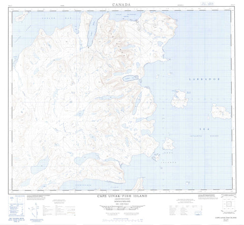
014L07 Cape Uivak Fish Island Canada topo map, 1:50,000 scale
014L07 Cape Uivak Fish Island NRCAN topographic map.
Includes UTM and GPS geographic coordinates (latitude and longitude). This 50k scale map is suitable for hiking, camping, and exploring, or you could frame it as a wall map.
Printed on-demand using high resolution, on heavy weight and acid free paper, or as an upgrade on a variety of synthetic materials.
Topos available on paper, Waterproof, Poly, or Tyvek. Usually shipping rolled, unless combined with other folded maps in one order.
- Product Number: NRCAN-014L07
- Parent Topo: TOPO-014L
- Map ID also known as: 014L07, 14L7, 14L07
- Unfolded Size: Approximately 26" high by 36" wide
- Weight (paper map): ca. 55 grams
- Map Type: POD NRCAN Topographic Map
- Map Scale: 1:50,000
- Geographical region: Newfoundland and Labrador, Canada
Neighboring Maps:
All neighboring Canadian topo maps are available for sale online at 1:50,000 scale.
Purchase the smaller scale map covering this area: Topo-014L
Spatial coverage:
Topo map sheet 014L07 Cape Uivak Fish Island covers the following places:
- Iterungnek Fiord - Jerusalem Bay - Kiyuktok Cove - Maidmonts Harbour - Saglek Anchorage - Saglek Bay - Saglek Fiord - St. John's Harbour - The Bight - Tigigakyuk Inlet - Torr Bay - The Strand - Cape Uivak - Cape Uivuk - White Point - Hare Islands Tickle - Hare Islands - Kingitoaksuk Island - Lister Island - Maidmonts Island - Mentzel Island - Mikkitok Island - Nulliak Island - Okaliak Island - Ukkalek Island - Upernavik Island - The Domes - Kiyuktok Brook - Labrador Sea - Mer du Labrador


