
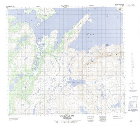
014F04 Avakutak Bay Canada topo map, 1:50,000 scale
014F04 Avakutak Bay NRCAN topographic map.
Includes UTM and GPS geographic coordinates (latitude and longitude). This 50k scale map is suitable for hiking, camping, and exploring, or you could frame it as a wall map.
Printed on-demand using high resolution, on heavy weight and acid free paper, or as an upgrade on a variety of synthetic materials.
Topos available on paper, Waterproof, Poly, or Tyvek. Usually shipping rolled, unless combined with other folded maps in one order.
- Product Number: NRCAN-014F04
- Parent Topo: TOPO-014F
- Map ID also known as: 014F04, 14F4, 14F04
- Unfolded Size: Approximately 26" high by 36" wide
- Weight (paper map): ca. 55 grams
- Map Type: POD NRCAN Topographic Map
- Map Scale: 1:50,000
- Geographical region: Newfoundland and Labrador, Canada
Neighboring Maps:
All neighboring Canadian topo maps are available for sale online at 1:50,000 scale.
Purchase the smaller scale map covering this area: Topo-014F
Spatial coverage:
Topo map sheet 014F04 Avakutak Bay covers the following places:
- Avakutak Bay - Buckets Bite - Kiglapait Harbour - Korokuluk Bay - Snyder Bay - Tasiuyak Bay - Tikkigaksuk Peninsula - Graveyard Island - Kikiktaksoak Island - Orne Islands - Sutton Island - Tikkigatsiagak Island - Tuttle Island - Webber Island - Kiglapait Tasialua Lake - Anaktalik Mountain - Inuksuk Mountain - Kaumajet Mountains - Kiglapait Mountain - Kiglapait Mountains - Pogutaujak Mountain - Tuglavina Hill - Angutausugevik Brook - Avakutak Brook - Avakutak River - Korokuluk Brook


