
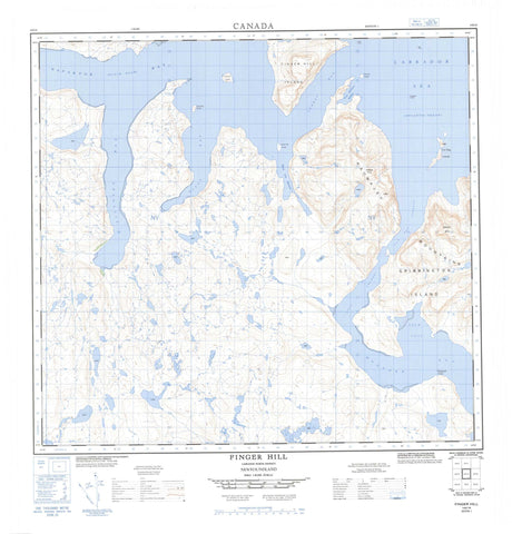
014E16 Finger Hill Canada topo map, 1:50,000 scale
014E16 Finger Hill NRCAN topographic map.
Includes UTM and GPS geographic coordinates (latitude and longitude). This 50k scale map is suitable for hiking, camping, and exploring, or you could frame it as a wall map.
Printed on-demand using high resolution, on heavy weight and acid free paper, or as an upgrade on a variety of synthetic materials.
Topos available on paper, Waterproof, Poly, or Tyvek. Usually shipping rolled, unless combined with other folded maps in one order.
- Product Number: NRCAN-014E16
- Parent Topo: TOPO-014E
- Map ID also known as: 014E16, 14E16
- Unfolded Size: Approximately 26" high by 36" wide
- Weight (paper map): ca. 55 grams
- Map Type: POD NRCAN Topographic Map
- Map Scale: 1:50,000
- Geographical region: Newfoundland and Labrador, Canada
Neighboring Maps:
All neighboring Canadian topo maps are available for sale online at 1:50,000 scale.
Purchase the smaller scale map covering this area: Topo-014E
Spatial coverage:
Topo map sheet 014E16 Finger Hill covers the following places:
- Calm Cove - Cod Bag Harbour - Mugford Bay - Napaktok (Black Duck) Bay - Pukke Cove - Rifle Bay - Shark Gut Harbour - Three Mountain Harbour - Finger Point - Grimmington Island - Sitogutyat Point - Lost Channel - Sunday Run - Cod Bag Islands - Drachart Island - Schneider Island - Shark Gut Island - Sturman Island - Turtleback Island - Brave Mountain - Finger Hill - Kaumajet Mountains - Labrador Sea - Mer du Labrador - Finger Rock


