
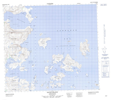
014C14 David Island Canada topo map, 1:50,000 scale
014C14 David Island NRCAN topographic map.
Includes UTM and GPS geographic coordinates (latitude and longitude). This 50k scale map is suitable for hiking, camping, and exploring, or you could frame it as a wall map.
Printed on-demand using high resolution, on heavy weight and acid free paper, or as an upgrade on a variety of synthetic materials.
Topos available on paper, Waterproof, Poly, or Tyvek. Usually shipping rolled, unless combined with other folded maps in one order.
- Product Number: NRCAN-014C14
- Parent Topo: TOPO-014C
- Map ID also known as: 014C14, 14C14
- Unfolded Size: Approximately 26" high by 36" wide
- Weight (paper map): ca. 55 grams
- Map Type: POD NRCAN Topographic Map
- Map Scale: 1:50,000
- Geographical region: Newfoundland and Labrador, Canada
Neighboring Maps:
All neighboring Canadian topo maps are available for sale online at 1:50,000 scale.
Purchase the smaller scale map covering this area: Topo-014C
Spatial coverage:
Topo map sheet 014C14 David Island covers the following places:
- Bakeapple Bay - Black Harbour - Collyers Bight - East Harbour - Eastern Harbour - Eastern Harbour - Frances Bay - Green Cove - Kolotulik Bay - Medusa Bay - Port Manvers - Slambang Bay - St. John's Harbour - Tigalak Inlet - Village Bay - Mosquito Shore - Collyers Point - Fletcher Point - Partridge Point - Redberry Point - Saltern Point - Thalia Point - Tikkegaksuak Peninsula - Main Tickle - Ringbolt Tickle - Seal Tickle - Medusa Bluff - Akulaitualuk Island - Amagvik Island - Barham Island - Bentinck Island - Big Black Island - Bingham Island - Black Island - Bouverie Island - Bulldog Island - Christine Island - David Island - Fish Islands - Gang Island - Henry Island - Jonathon Island - Little Fish Island - Ollerton Island - Orton Island - Phillips Island - Quest Island - Ring Island - Sculpin Island - South Aulatsivik Island - Tent Island - Turnagain Island - Vernon Island - Backsight Hill - Blackface Hill - Mount Thoresby - Labrador Sea - Mer du Labrador - Chain Rocks - Lilly Rocks - Willis Rocks - Ungardlek


