
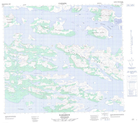
014C05 Kamarsuk Canada topo map, 1:50,000 scale
014C05 Kamarsuk NRCAN topographic map.
Includes UTM and GPS geographic coordinates (latitude and longitude). This 50k scale map is suitable for hiking, camping, and exploring, or you could frame it as a wall map.
Printed on-demand using high resolution, on heavy weight and acid free paper, or as an upgrade on a variety of synthetic materials.
Topos available on paper, Waterproof, Poly, or Tyvek. Usually shipping rolled, unless combined with other folded maps in one order.
- Product Number: NRCAN-014C05
- Parent Topo: TOPO-014C
- Map ID also known as: 014C05, 14C5, 14C05
- Unfolded Size: Approximately 26" high by 36" wide
- Weight (paper map): ca. 55 grams
- Map Type: POD NRCAN Topographic Map
- Map Scale: 1:50,000
- Geographical region: Newfoundland and Labrador, Canada
Neighboring Maps:
All neighboring Canadian topo maps are available for sale online at 1:50,000 scale.
Purchase the smaller scale map covering this area: Topo-014C
Spatial coverage:
Topo map sheet 014C05 Kamarsuk covers the following places:
- Bar Island Cove - Edmunds Cove - Igiak Bay - Igiak Bay - Kangeklualuk Bay - Kangeklukuluk Bay - Kauk Bay - Kauk Harbour - Neck Cove - Samiuk Cove - Solomons Cove - Ten Mile Bay - Throat Bay - Umiakovikulluk Harbour - Voisey Bay - Voisey's Bay - Breakfast Point Shore - Akuliakatak Peninsula - Breakfast Point - Edmunds Neck - Glasis Point - Kaiktusuak Point - Kamarsuk Point - Karmarsuk Point - Stony Point - Headforemost Tickle - The Bridges Passage - Kauk Bluff - Amos Island - Bar Island - Big Island - Big Island Samiuks - Duck Island - Far Island - Gull Island - Hare Island - Kauk Bluff Island - Kikkertavak Island - Kiuvik Island - Middle Island - Near Island - Palungitak Island - Paul Island - Pigeon Island - Pitsiulak Island - Pitsiulatsuit Islands - Rain Islet - Satosoak Island - Simmikutaq Island - Tabor Island - Tokauyaq Island - Turn Island - Uncle Johns Big Island - Upper Big Island - Anchor Knoll - Bridges Hill - Dick Hill - Kikkertavak Hill - Scotch Hill - Sentinel Hill - White Hill - Labrador Sea - Mer du Labrador - Jenks Rock - Iggiak - Kamarsuk


