
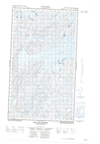
013O04W Bay Of Islands Canada topo map, 1:50,000 scale
013O04W Bay Of Islands NRCAN topographic map.
Includes UTM and GPS geographic coordinates (latitude and longitude). This 50k scale map is suitable for hiking, camping, and exploring, or you could frame it as a wall map.
Printed on-demand using high resolution, on heavy weight and acid free paper, or as an upgrade on a variety of synthetic materials.
Topos available on paper, Waterproof, Poly, or Tyvek. Usually shipping rolled, unless combined with other folded maps in one order.
- Halfsheet: This map was designed as a half sheet of NRCAN-013O04, and it is the Western half. Find the eastern half sheet here.
- Product Number: NRCAN-013O04W
- Parent Topo: TOPO-013O
- Map ID also known as: 013O04, 13O4, 13O04
- Unfolded Size: Approximately 26" high by 36" wide
- Weight (paper map): ca. 55 grams
- Map Type: POD NRCAN Topographic Map
- Map Scale: 1:50,000
- Geographical region: Newfoundland and Labrador, Canada
Neighboring Maps:
All neighboring Canadian topo maps are available for sale online at 1:50,000 scale.
Purchase the smaller scale map covering this area: Topo-013O
Spatial coverage:
Topo map sheet 013O04W Bay Of Islands covers the following places:
- Abels Harbour - Bay of Islands - Belle Aways Cove - Big Cove - Blacklers Bight - Dotter Cove - Drunken Harbour - Iggiuk Bight - Island Harbour - Jims Harbour - Jockos Bight - John Lyalls Place - Julies Harbour - Kaipokok Bay - Kanairiktok Bay - Little Bay - Northwest Bight - Rattlers Bight - Sallys Rattle - Titus Harbour - Cape O'War - Cape Roi - Cape Roi Head - Drunken Harbour Point - Island Harbour Head - Long Point - Old Mans Head - Philips Point - Talasinimavik - Gull Tickle - Alkami Island - Antoines Island - Antons Island - Duck Island - Duck Islands - Groovy Island - Lillian Islands - Lily Islands - Susan Island - English River Pond - Island Harbour Ponds - Long Pond - Saltwater Pond - Trout Pond - Alkami Brook - Libbys Brook - Trout Brook - Tommys Rocks - Kaipokok


