
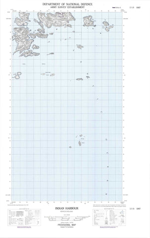
013I06E Indian Harbour Canada topo map, 1:50,000 scale
013I06E Indian Harbour NRCAN topographic map.
Includes UTM and GPS geographic coordinates (latitude and longitude). This 50k scale map is suitable for hiking, camping, and exploring, or you could frame it as a wall map.
Printed on-demand using high resolution, on heavy weight and acid free paper, or as an upgrade on a variety of synthetic materials.
Topos available on paper, Waterproof, Poly, or Tyvek. Usually shipping rolled, unless combined with other folded maps in one order.
- Halfsheet: This map was designed as a half sheet of NRCAN-013I06, and it is the Eastern half. Find the western half sheet here.
- Product Number: NRCAN-013I06E
- Parent Topo: TOPO-013I
- Map ID also known as: 013I06, 13I6, 13I06
- Unfolded Size: Approximately 26" high by 36" wide
- Weight (paper map): ca. 55 grams
- Map Type: POD NRCAN Topographic Map
- Map Scale: 1:50,000
- Geographical region: Newfoundland and Labrador, Canada
Neighboring Maps:
All neighboring Canadian topo maps are available for sale online at 1:50,000 scale.
Purchase the smaller scale map covering this area: Topo-013I
Spatial coverage:
Topo map sheet 013I06E Indian Harbour covers the following places:
- Cut Throat Harbour - East Harbour - Edwards Harbour - George Island Cove - Groswater Bay - Hamilton Inlet - Indian Harbour - Little Harbour - Pottles Bay - Queens Bight - South Harbour - Winters Cove - Cut Throat Point - East Head - Indian Head - Lawrenceson Point - Leith Point - Long Point - Mann Point - Palmer Point - Pigeon Point - Round Head - Smokey Head - Cut Throat Tickle - Ice Tickle - Run By Guess - Smokey Tickle - Bacalhao Island - Big Island - Boxer Island - Cut Throat Island - Double Islands - East Big Island - East Pompey Island - Entry Island - Five Islands - Foxy Islands - George Island - Green Island - Green Islet - Gull Islet - Herring Islands - Hullet Island - Ice Tickle Island - Indian Island - Little Entry Island - Marks Island - Mundy Island - North Duck Islands - North Green Island - Pigeon Island - Pinchgut Islet - Pompey Island - Ponsonby Island - Puffin Island - Round Head Island - Run By Guess Island - Southern Group - Tinker Island - Tinker Island - Winter Island - Shakespeare Hill - Labrador Sea - Arthy Reef - Blacks Rocks - Bulldog Rock - Jigger Rock - Leeming Rock - Lewis Rock - Tommy Rocks - Indian Harbour - Smokey


