
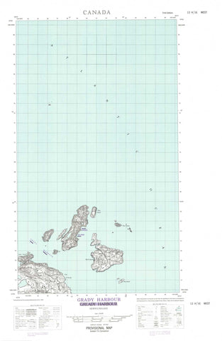
013H16W Grady Harbour Canada topo map, 1:50,000 scale
013H16W Grady Harbour NRCAN topographic map.
Includes UTM and GPS geographic coordinates (latitude and longitude). This 50k scale map is suitable for hiking, camping, and exploring, or you could frame it as a wall map.
Printed on-demand using high resolution, on heavy weight and acid free paper, or as an upgrade on a variety of synthetic materials.
Topos available on paper, Waterproof, Poly, or Tyvek. Usually shipping rolled, unless combined with other folded maps in one order.
- Halfsheet: This map was designed as a half sheet of NRCAN-013H16, and it is the Western half. Find the eastern half sheet here.
- Product Number: NRCAN-013H16W
- Parent Topo: TOPO-013H
- Map ID also known as: 013H16, 13H16
- Unfolded Size: Approximately 26" high by 36" wide
- Weight (paper map): ca. 55 grams
- Map Type: POD NRCAN Topographic Map
- Map Scale: 1:50,000
- Geographical region: Newfoundland and Labrador, Canada
Neighboring Maps:
All neighboring Canadian topo maps are available for sale online at 1:50,000 scale.
Purchase the smaller scale map covering this area: Topo-013H
Spatial coverage:
Topo map sheet 013H16W Grady Harbour covers the following places:
- Back Cove - Black Island Harbour - Grady Harbour - Shoal Cove - Watering Cove - Cape North - Cape St. Nicolas - White Point - White Point - Pigeon Tickle - Black Island - Cross Island - Flat Islands - Grady Island - Hare Island - Little Grady Island - Offer Wolf Island - Pigeon Island - Stunk Island - The Wolves - Wolf Islands - East Gannet Rock - Grady Reef - Halfway Rock - High-rat Bank - Johnny Paul Rock - Mad Moll - Meade Shoal - Grady Harbour - North Cove


