
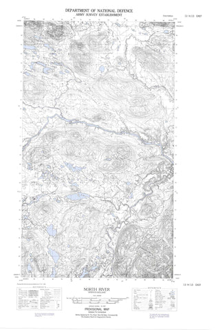
013H13E North River Canada topo map, 1:50,000 scale
013H13E North River NRCAN topographic map.
Includes UTM and GPS geographic coordinates (latitude and longitude). This 50k scale map is suitable for hiking, camping, and exploring, or you could frame it as a wall map.
Printed on-demand using high resolution, on heavy weight and acid free paper, or as an upgrade on a variety of synthetic materials.
Topos available on paper, Waterproof, Poly, or Tyvek. Usually shipping rolled, unless combined with other folded maps in one order.
- Halfsheet: This map was designed as a half sheet of NRCAN-013H13, and it is the Eastern half. Find the western half sheet here.
- Product Number: NRCAN-013H13E
- Parent Topo: TOPO-013H
- Map ID also known as: 013H13, 13H13
- Unfolded Size: Approximately 26" high by 36" wide
- Weight (paper map): ca. 55 grams
- Map Type: POD NRCAN Topographic Map
- Map Scale: 1:50,000
- Geographical region: Newfoundland and Labrador, Canada
Neighboring Maps:
All neighboring Canadian topo maps are available for sale online at 1:50,000 scale.
Purchase the smaller scale map covering this area: Topo-013H
Spatial coverage:
Topo map sheet 013H13E North River covers the following places:
- Ayre River Pond - Barren Ponds - Barron Lake - Big Pond - Doody Lake - Double Pond - Island Pond - Janes Lake - Long Pond - Mullally Lake - Murphys Steady - Rose Lake - Round Pond - Steele Creek Ponds - Sullivan Lake - The Mountain - Ayre River - Backway River - Barron River - Doody Creek - Herder River - Janes Creek - Main Brook - Main River - Murphy River - North River - River Sticks - Roper River - Round Pond Brook - Steele Creek


