
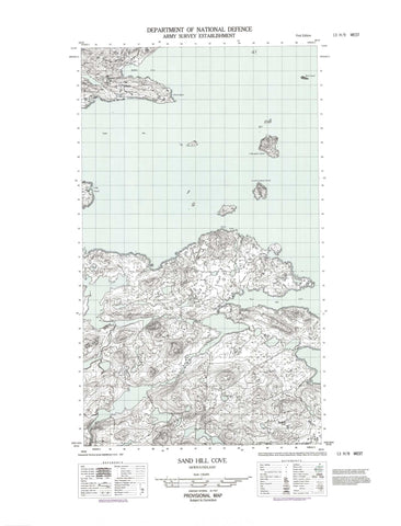
013H09W Sand Hill Cove Canada topo map, 1:50,000 scale
013H09W Sand Hill Cove NRCAN topographic map.
Includes UTM and GPS geographic coordinates (latitude and longitude). This 50k scale map is suitable for hiking, camping, and exploring, or you could frame it as a wall map.
Printed on-demand using high resolution, on heavy weight and acid free paper, or as an upgrade on a variety of synthetic materials.
Topos available on paper, Waterproof, Poly, or Tyvek. Usually shipping rolled, unless combined with other folded maps in one order.
- Halfsheet: This map was designed as a half sheet of NRCAN-013H09, and it is the Western half. Find the eastern half sheet here.
- Product Number: NRCAN-013H09W
- Parent Topo: TOPO-013H
- Map ID also known as: 013H09, 13H9, 13H09
- Unfolded Size: Approximately 26" high by 36" wide
- Weight (paper map): ca. 55 grams
- Map Type: POD NRCAN Topographic Map
- Map Scale: 1:50,000
- Geographical region: Newfoundland and Labrador, Canada
Neighboring Maps:
All neighboring Canadian topo maps are available for sale online at 1:50,000 scale.
Purchase the smaller scale map covering this area: Topo-013H
Spatial coverage:
Topo map sheet 013H09W Sand Hill Cove covers the following places:
- Mother Burns Cove - Mullins Cove - North Shoal Bay - Rocky Bay - Sand Hill Cove - Stoney Arm - Table Bay - Cape Greep - Musgrave Land - North Head - South Head - Table Bay Point - White Point - Bird Islands - Collingham Island - Devils Lookout Island - Entry Island - Green Island - Halfway Island - Indian Island - Ledge Island - Narrow Island - Offer Red Island - Quakers Hat - Red Island - Sand Hill River - Labrador Sea - Mer du Labrador - Black Rocks - Lookout Rocks - Nugent Bank - Old King - Round Island Bank - South Black Rock - The Knob - The Shoals - White Rock - Indian Tickle


