
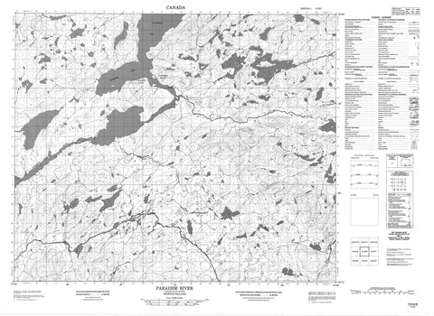
013H06 Paradise River Canada topo map, 1:50,000 scale
013H06 Paradise River NRCAN topographic map.
Includes UTM and GPS geographic coordinates (latitude and longitude). This 50k scale map is suitable for hiking, camping, and exploring, or you could frame it as a wall map.
Printed on-demand using high resolution, on heavy weight and acid free paper, or as an upgrade on a variety of synthetic materials.
Topos available on paper, Waterproof, Poly, or Tyvek. Usually shipping rolled, unless combined with other folded maps in one order.
- Product Number: NRCAN-013H06
- Parent Topo: TOPO-013H
- Map ID also known as: 013H06, 13H6, 13H06
- Unfolded Size: Approximately 26" high by 36" wide
- Weight (paper map): ca. 55 grams
- Map Type: POD NRCAN Topographic Map
- Map Scale: 1:50,000
- Geographical region: Newfoundland and Labrador, Canada
Neighboring Maps:
All neighboring Canadian topo maps are available for sale online at 1:50,000 scale.
Purchase the smaller scale map covering this area: Topo-013H
Spatial coverage:
Topo map sheet 013H06 Paradise River covers the following places:
- Dick Davids Cove - Drunken Cove - Duck Island Cove - Holwells Cove - Mrs Heards Cove - Paradise Arm - Pathend Cove - Sandwich Bay - Seal Cove - Swallow Harbour - Black Head - Dick Davids Point - Hammer Points - Lower Hammer Point - Luscombes Head - Mountaineer Point - Narrows Point - Poverty Point - Raspberry Point - Upper Hammer Point - Whale Point - Narrows - Dick Davids Island - Abs Pond - Big Good Enoughs Pond - Bill Lemaires Pond - Bird Ponds - Bucket Pond - Chimney Tilt Pond - Duck Island Big Pond - Duck Island Ponds - First Steady - Folletts Pond - Good Enough Big Pond - Good Enough Lower Big Pond - Holwells Cove Pond - Little Coombs Pond - Little Good Enoughs Pond - Long Pond - Long Pond - Lower Whalesback Pond - Mole Pond - Rat Pond - Rat Pond - Sandhill Pond - Second Pond Steady - Smiths Pond - Stalk Hill Ponds - Whalesback (Pond) - Isaacs Hill - Vinegar Hill - Whalesback (Hill) - Salt Water Rapids - Bill Lemaires Brook - Crooked Brook - Duck Island Brook - Fancys Brook - Holwells Brook - Long Pond Brook - Paradise River - Red Island Brook - River Styx Brook - Sand Hill River - Sandy Hill Brook - Southwest Brook - Paradise Point - Paradise River


