
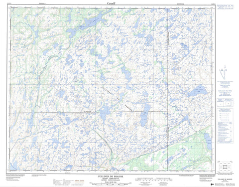
012P11 Collines De Brador Canada topo map, 1:50,000 scale
012P11 Collines De Brador NRCAN topographic map.
Includes UTM and GPS geographic coordinates (latitude and longitude). This 50k scale map is suitable for hiking, camping, and exploring, or you could frame it as a wall map.
Printed on-demand using high resolution, on heavy weight and acid free paper, or as an upgrade on a variety of synthetic materials.
Topos available on paper, Waterproof, Poly, or Tyvek. Usually shipping rolled, unless combined with other folded maps in one order.
- Product Number: NRCAN-012P11
- Parent Topo: TOPO-012P
- Map ID also known as: 012P11, 12P11
- Unfolded Size: Approximately 26" high by 36" wide
- Weight (paper map): ca. 55 grams
- Map Type: POD NRCAN Topographic Map
- Map Scale: 1:50,000
- Geographical region: Newfoundland and Labrador, Canada
Neighboring Maps:
All neighboring Canadian topo maps are available for sale online at 1:50,000 scale.
Purchase the smaller scale map covering this area: Topo-012P
Spatial coverage:
Topo map sheet 012P11 Collines De Brador covers the following places:
- Baies Thomas-Keats - Pointe des Belles Amours - Brest - Phélypeaux - Coffee Pond - Étang de la Montagne à Boissé - Grand lac Birchy - Inside Pond - Lac Bezeau - Lac Billy - Lac Birchy - Lac Black Mountain - Lac Brador Cabin - Lac Bread - Lac Charlie-Baka - Lac Cheval - Lac Conway - Lac Cotinelle - Lac Courtemanche - Lac de la Pointe de Flèche - Lac de la Symétrie - Lac Departure - Lac Doe - Lac Fiddle Bridge - Lac Fire - Lac Flat - Lac Forker - Lac Goose - Lac Grandfather - Lac Hammone - Lac Handy - Lac Herring - Lac Hiram - Lac Indian Gulch - Lac Islands - Lac Jersey - Lac Leg - Lac Little Tanapi - Lac Mathiew - Lac Mocassin - Lac Muskrat - Lac Neck - Lac New Cabin - Lac Old Cabin - Lac Otter - Lac Peter - Lac Philip Bridge - Lac Pint - Lac Pluff Head - Lac Prickett - Lac Rocky - Lac Sammy-Jones - Lac Shirt Tail - Lac Souley - Lac Stag - Lac Stove Pipe Gulch - Lac Tanapi - Lac Thirsty - Lac Tramp - Lac White Hill - Lacs Blue Field - Lacs Horn - Lacs Slippery - L'Anse au Clair Lake - Long Pond - Colline Leg - Colline White Est - Colline White Ouest - Collines Black Mountain - Collines Blue Field - Collines de Brador - Deuxième Montagne - Les Hauteurs de Thinker - Montagne à Boissé - Première Montagne - Troisième Montagne - Forteau Brook - Rivière Brador - Rivière Brador Est - Rivière de Blanc-Sablon - Rivière de Blanc-Sablon - Rivière de la Baie de Brador - Rivière Eagle Head - Ruisseau Billy-Bone - Ruisseau Charlie-Baka - Ruisseau Fire - Ruisseau Fox - Ruisseau Mathiew - Ruisseau Monger - Pont de la Grande-Coulée - Eagle Head - Fond-de-la-Baie - Johny's Cabin - Perdrix-Garden - Turn-Up Juniper


