
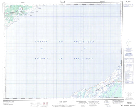
012P09 Big Brook Canada topo map, 1:50,000 scale
012P09 Big Brook NRCAN topographic map.
Includes UTM and GPS geographic coordinates (latitude and longitude). This 50k scale map is suitable for hiking, camping, and exploring, or you could frame it as a wall map.
Printed on-demand using high resolution, on heavy weight and acid free paper, or as an upgrade on a variety of synthetic materials.
Topos available on paper, Waterproof, Poly, or Tyvek. Usually shipping rolled, unless combined with other folded maps in one order.
- Product Number: NRCAN-012P09
- Parent Topo: TOPO-012P
- Map ID also known as: 012P09, 12P9, 12P09
- Unfolded Size: Approximately 26" high by 36" wide
- Weight (paper map): ca. 55 grams
- Map Type: POD NRCAN Topographic Map
- Map Scale: 1:50,000
- Geographical region: Newfoundland and Labrador, Canada
Neighboring Maps:
All neighboring Canadian topo maps are available for sale online at 1:50,000 scale.
Purchase the smaller scale map covering this area: Topo-012P
Spatial coverage:
Topo map sheet 012P09 Big Brook covers the following places:
- Bailey Cove - Buckle Cove - Capstan Cove - Kelpy Cove - Little Capstan Cove - Lower Cove - Open Bay - Red Bay - Shoal Cove - Steamer Cove - Stump Cove - The Basin - The Harbour - Unfortunate Cove - Watts Bight - Western Arm - Bailey Cove Point - Boat Head - Capstan Cove Point - Moore Point - Northern Peninsula - Shoal Cove Point - Western Point - Wiseman Head - Détroit de Belle Isle - Strait of Belle Isle - Fishery Island - Gull Island - Penney Island - Penny Island - Saddle Island - Twin Isles - Crooked Steady - Lead of Ponds - Lead Pond - Southwest Steady - Third Pond - Watsons Pond - Watsons Steady - Cox Hill - Tracey Hill - Tracey Hill - Lieu historique national du Canada de Red Bay - Red Bay National Historic Site of Canada - Baillies Brook - Big Brook - Eastern Brook - North Brook - Southwest Brook - Wiseman Brook - Belles Amours Shoal - Drummer Ledge - Eastern Bank - Harbour Rock - Mad Moll - Saddle Island Rocks - Scab Rock - Spencer Bank - Teapot Rock - The Cobbler - The Louse - Thistle Rock - Twin Island Rock - Twin Isles Rock - Red Bay - Big Brook


